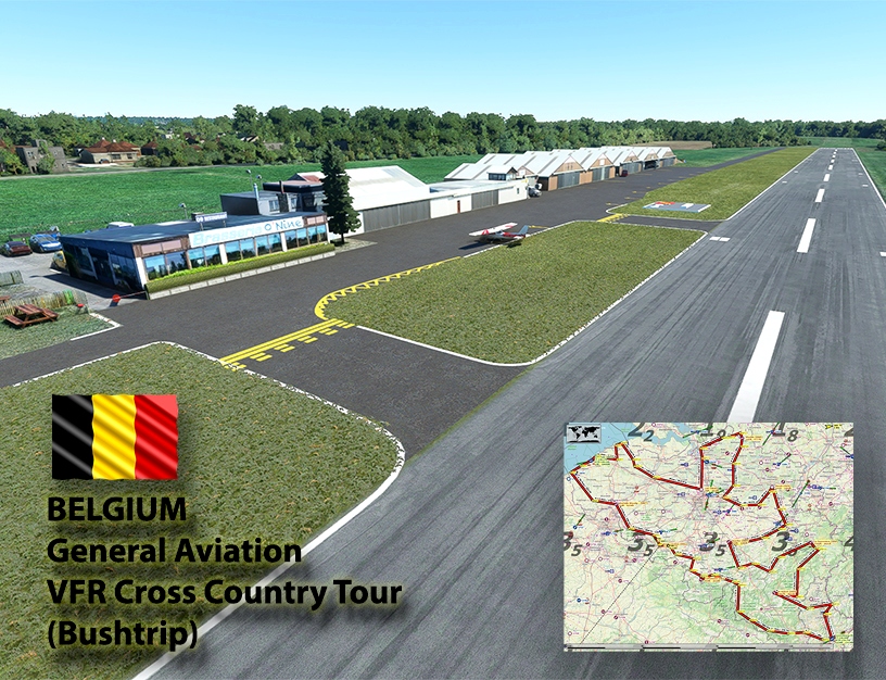
Belgium VFR Cross-Country Tour (BushTrip)
Welcome to Belgium, a barely flat-land country in the heart of Europe!
By flying low-and-slow in a Cessna C152 (no built-in GPS or autopilot) you will for sure enjoy this 11-leg cross-country tour across Belgium. You will be landing only in small to mid-size airports and airfields (exception for Oostende and Luxembourg).
I challenge you to try your best to fly purely VFR, following visual landmarks as per the sub-leg descriptions. This will not be always easy but you will certainly enjoy the pleasure of reaching your destination, using only your 'eyes and hands'.
Assistance on the route will be available in the form of back-on-Track button on the VFR Map, however be advised that using this will disable achievements tied to the activity.
Summary:
11 Airports / 11 Legs
600+ nautical Miles (measured by direct GPS track throughout all waypoints)
06H00+ of flight (calculated time for direct route through all waypoints, will take you slightly more)
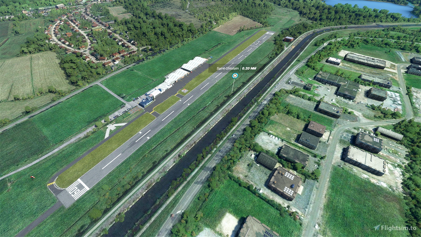
Departure and arrival at Saint-Ghislain Airfield (EBSG) in southwest of Belgium, very close to France.
Route
Leg 1 34NM 00:19 EBSG-EBKT (Saint-Ghislain to Kortrijk-Wevelgem)
Leg 2 43NM 00:24 EBKT-EBOS (Kortrijk-Wevelgem to Oostende)
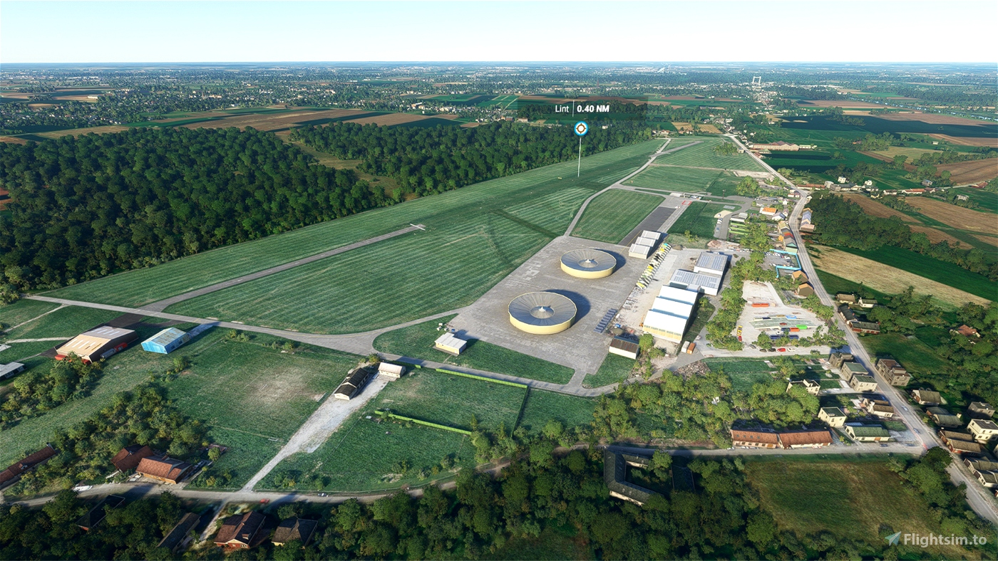
Leg 3 76NM 00:42 EBOS-EBGB (Oostende to Lint)
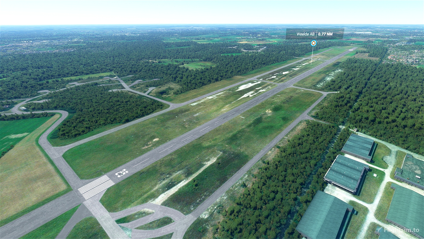
Leg 4 47NM 00:26 EBGB-EBWE (Lint to Weelde)
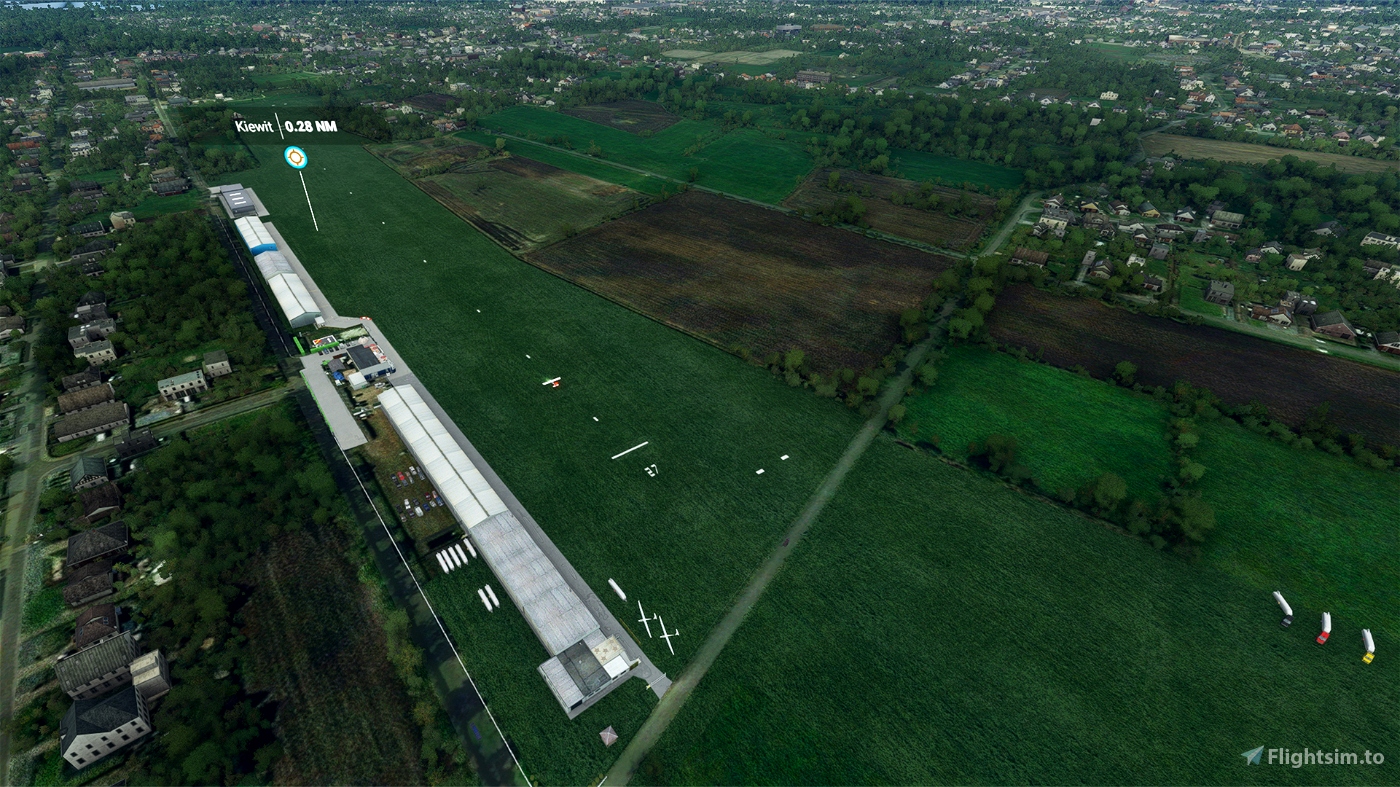
Leg 5 65NM 00:36 EBWE-EBZH (Weelde to Kiewit)
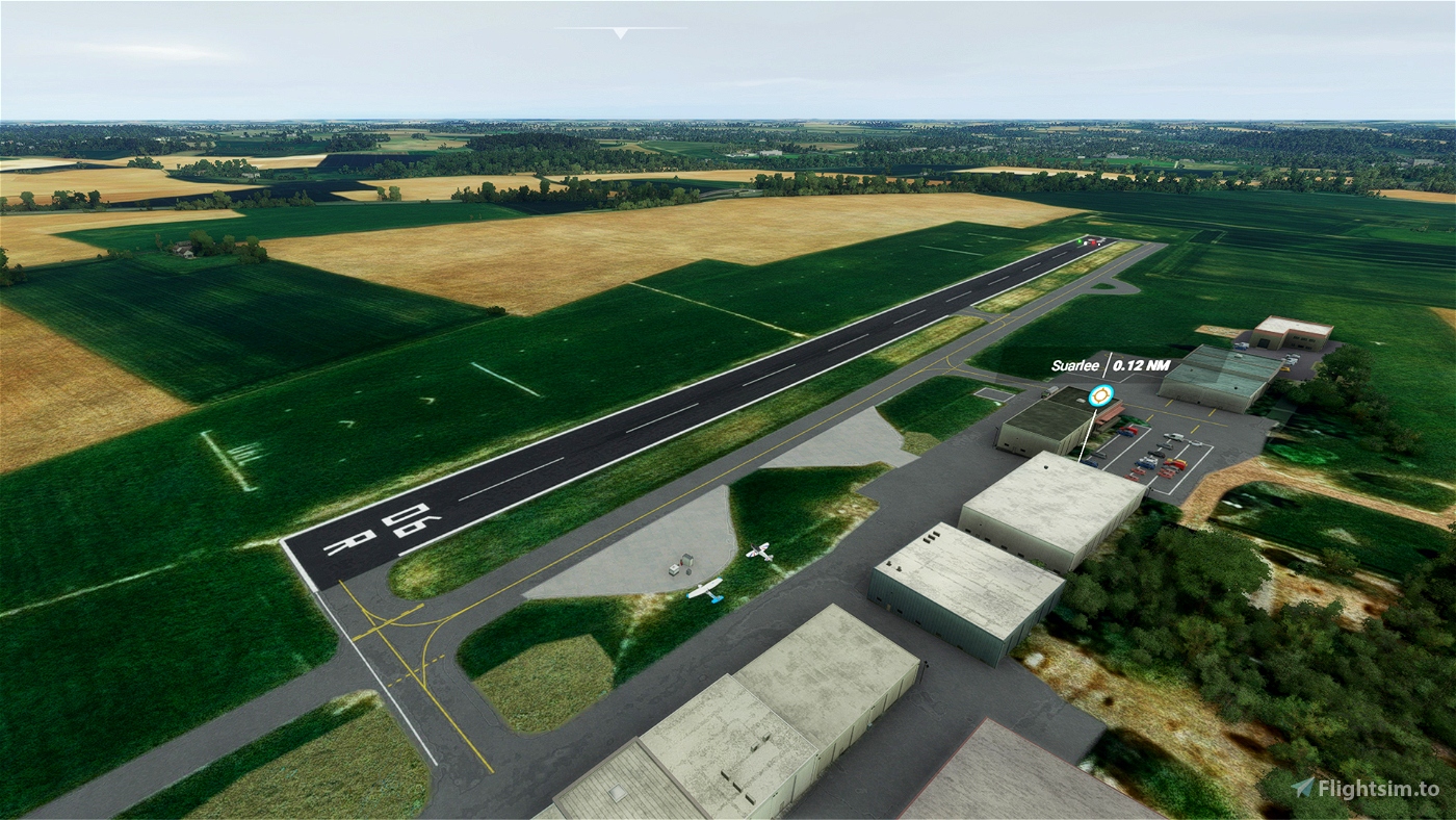
Leg 6 54NM 00:30 EBZH-EBNM (Kiewit to Suarlee Namur)
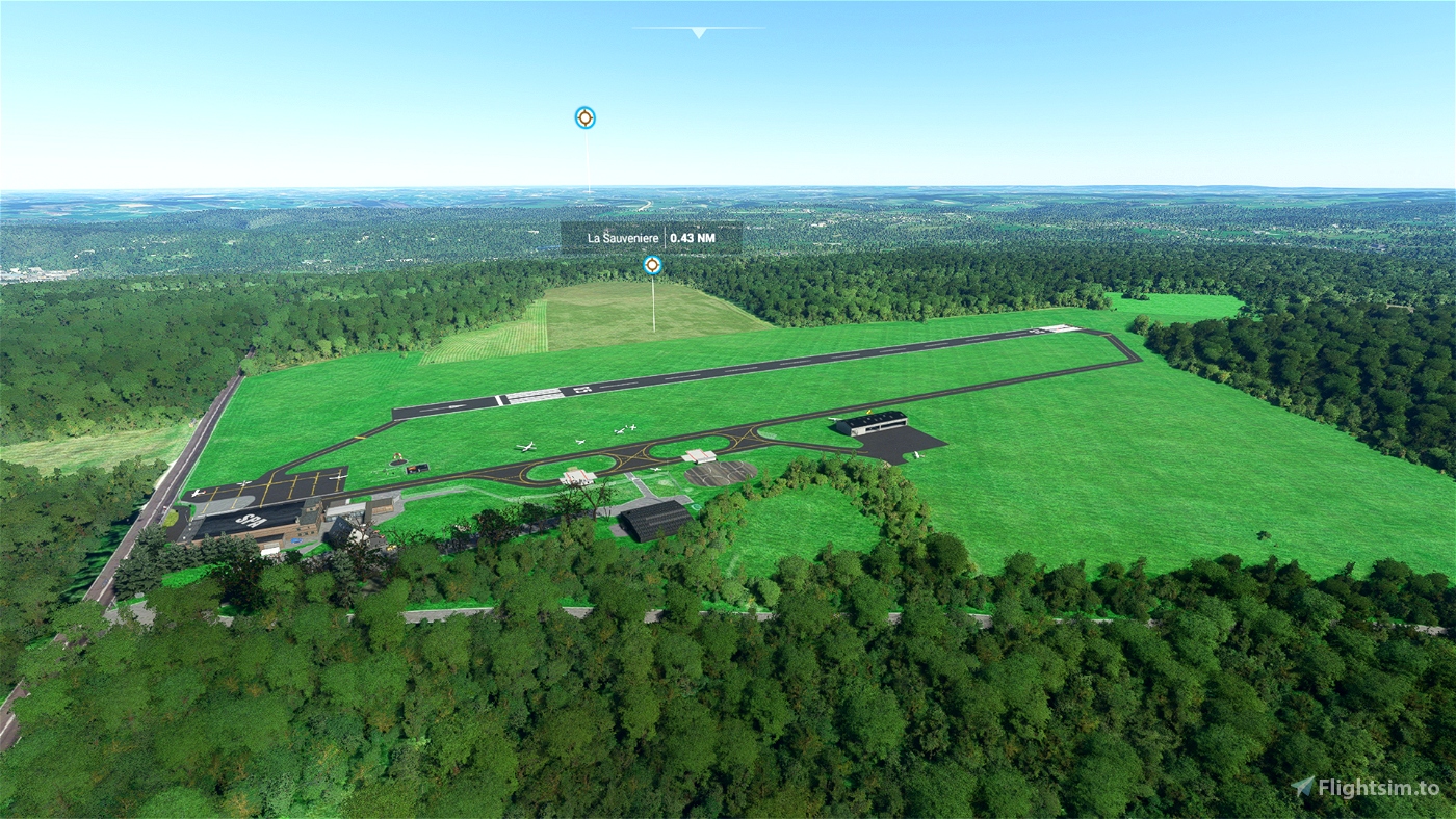
Leg 7 60NM 00:33 EBNM-EBSP (Suarlee Namur to La Sauveniere)
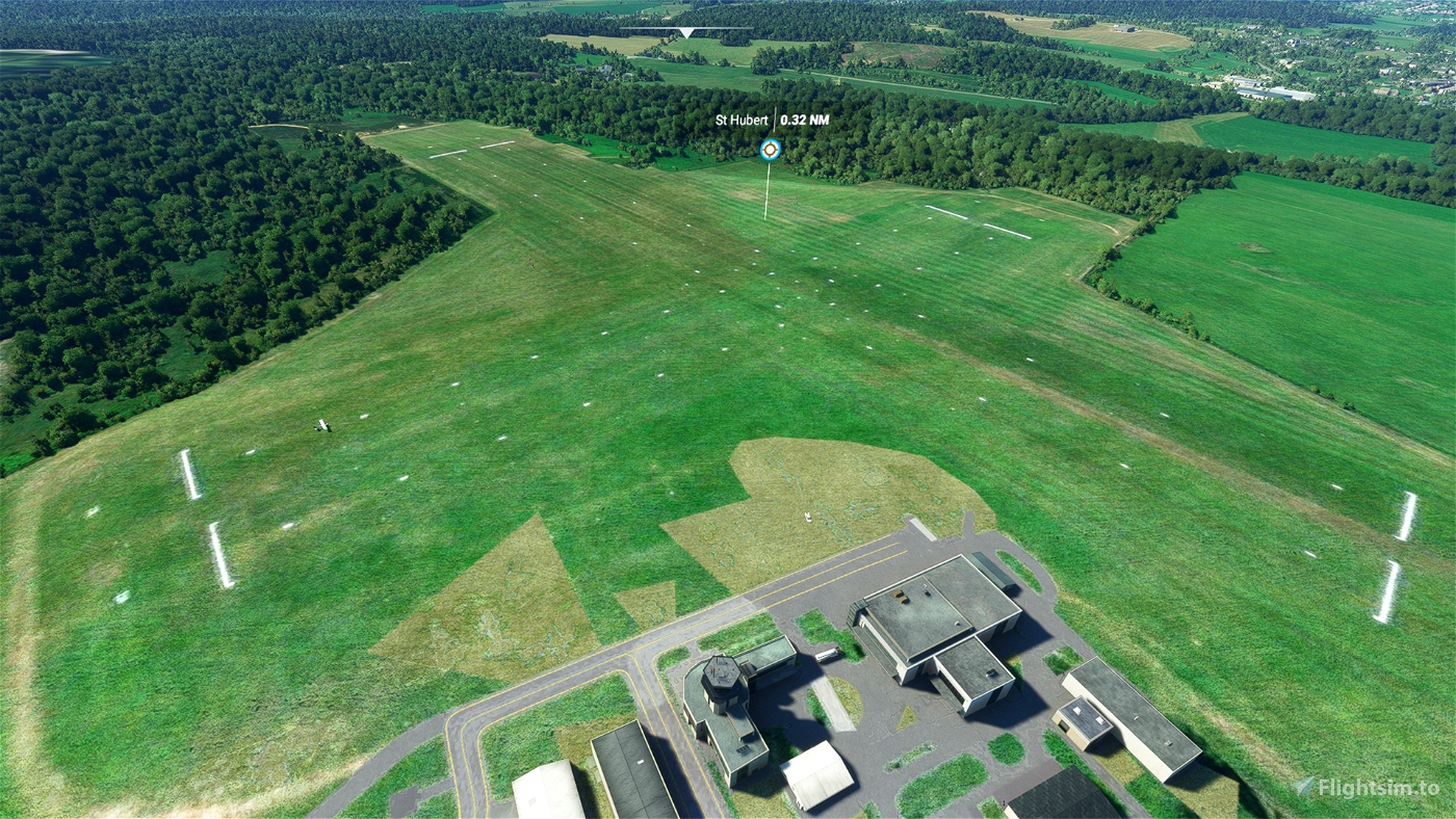
Leg 8 48NM 00:27 EBSP-EBSH (La Sauveniere to St. Hubert)
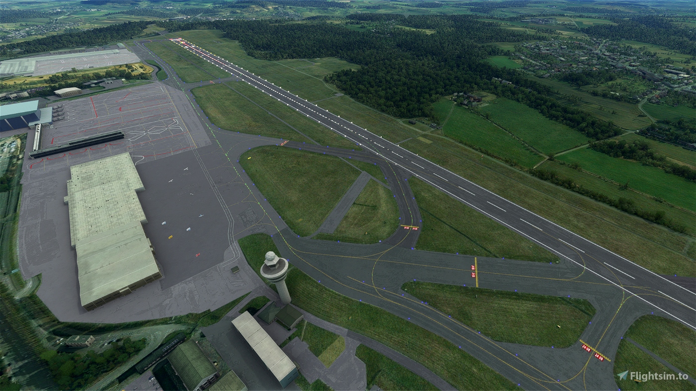
Leg 9 54NM 00:30 EBSH-ELLX (St Hubert to Luxembourg)
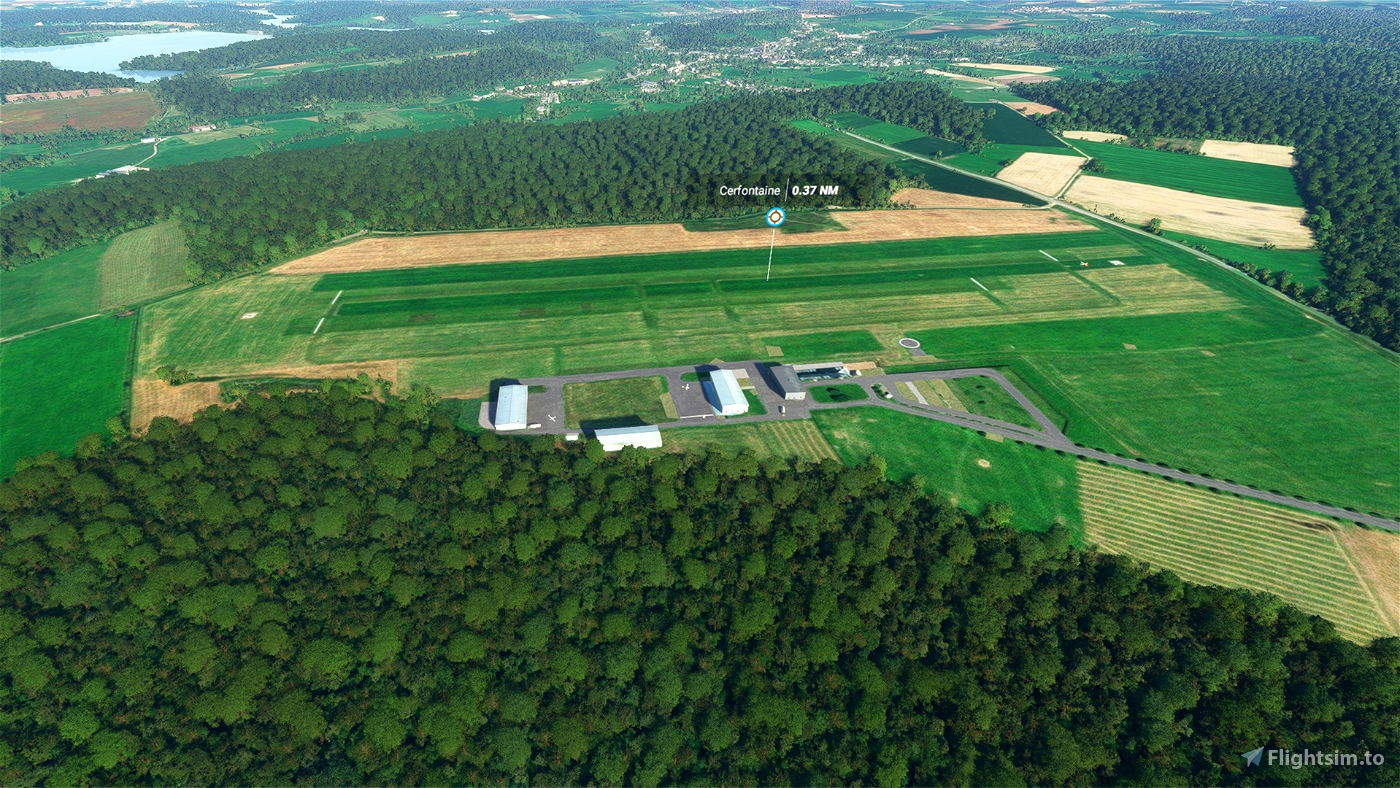
Leg 10 90NM 00:50 ELLX-EBCF (Luxembourg to Cerfontaine)
Leg 11 35NM 00:19 EBCF-EBSG (Cerfontaine to Saint-Ghislain)
For all details, please read the included readme.txt file.


6 months ago
randaan
Hello, thank you for this nice Bushtrip in my country. A correction to be amended on leg 7 -> "POI30 : Depart close to SE" (and not SouthWest 158Mag ) small think but not critical 😊 Please continue !
3 years ago
ErHenry
3 years ago
Her name was Susie
2 years ago
sparky147
CapitainJoePatroni
just for info. EBOO for Oostende is incorrect. The correct code is EBOS
3 years ago
Thanks wulfgar for the hint, I will correct it on next release!
3 years ago
jamtino
Premium
wulfgar
Premium
How do you do it with the fuel? (maybe stupid question)
But I couldn't finish the 5th leg because I ran out of fuel.
3 years ago
same issue, I cheat a little bit with the Shift F Refueling in the middle of the bushtrip ....
3 years ago
ErHenry
thierenbram
THX
3 years ago
3 years ago
jamtino
Manu5ahau