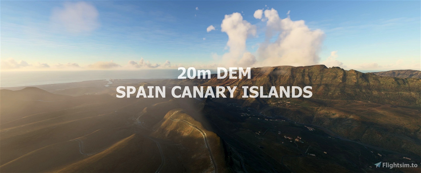
Experience the Canary Islands
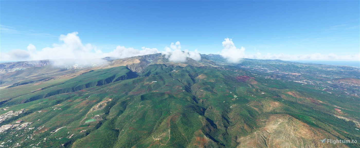
This mod contains customized height profiles for the Canary Islands. The mod contains high definition LIDAR DEM data with a mesh resolution of 20m. The height resolution is as good as 0.1m.
The mod does not only provide mountain shapes being very close to reality, but also flattens lakes & rivers and gets rid of any terrain artifacts.
IMPORTANT
Disclaimer: The creator of this mod is not responsible for any problems, damage, incompatibilites to other mods or performance issues that might occur.
Please note, that this mod is a very high resolution mesh. The elevation data is applied through terraforming rectangles, thus loaded at a certain distance from the player. When travelling fast or at high alitude (wide range of view) there might be too many new rectangles loaded simultaneously and thus stutters might occur.
If you have any stutters you can try and reduce your ingame render settings or uninstall!
If you are mainly flying airliners in high altitude, there is probably no benefit for you in using this mod.
Credits
The elevation data used was a LIDAR 20m height profile compiled by Sonny (https://data.opendataportal.at/dataset/dtm-europe)
It was then transfered into MSFS using MSFS Toolkit by Nool Aerosystems (https://msfs.nool.ee/)
Thank you both and for anyone reading this: Please go ahead and support them!
Thanks Troglodytus for you help!
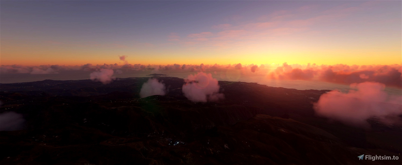
Enjoy your VFR flights above the Canary Islands!

 Mikea.at


Is this compatible with WU8?
2 years ago
Try and error, but i think you dont need it anymore.
2 years ago
Mikea.at
derekschinke
Hey, great job on the DEM! I really love flying in the canaries as I also fly there irl on vacation 😊 However on my end there is one really annoying issue I never noticed on any other DEM:
If I fly from let's say La Gomera to Fuerteventura the game quiet often freezes (not just stutters) when loading the DEMs of the other islands. I already also reinstalled windows but still this issue occurs. As said, on other DEMs it does not seem to happen.
Probably you could revisit this one and check it on your end 😊
Best regards!
2 years ago
Delta2k5
Thanks for the DEM - amazing difference from Asobo default.
May I mention that your mesh is causing a huge sea dome just before the GCLA 36 threshold. Impossible to fly an approach.
Thanks!
Edit: Tried the GCLA freeware on its own without your DEM and the dome isn't present..
3 years ago
The big sea dome is there with freeware https://de.flightsim.to/file/9967/gcla-la-palma-airport-canary-islands
3 years ago
CYB4
Britjet
Awesome addon! I made this video featuring this addon and others, and it looks insane! Thanks!
https://youtu.be/vFZ6Goqlgv0
3 years ago
leighhobson89
Hola buenas! En el puerto de Santa Cruz de La Palma hay un pico de agua de bastantes metros, igual que en aproximación a Gran Canaria, pero en general los montes, barrancos y costas se ven muy bien.
3 years ago
yes it is , den fehler kann ich bestätigen
3 years ago
hpk
LienSavo
Thanks! Are you also planning on aerial imagery? Since all islands need to be color corrected massively and there is no freeware to do so (yet)
3 years ago
wfm18
Looks pretty good. Is there a chance of a 2 or 5m DEM?
3 years ago
That allways depends if there is data available. Do you know a source?
3 years ago
Mikea.at
Strassenbernd
Hi everyone ! Thanks for this amazing work. However, I think I'm doing something wrong because I see a lot of incorrections, terrain bugs, little mountains in the sea. Do you have an idea to fix it up ?
3 years ago
Lorum
Should I use this add-on with or without "Canary Islands fix (rivers, trees)" to get the best effect? 😊
How does this add-on cooperate with payware "ISLAND CREATIONS - FUERTEVENTURA AERIAL IMAGERY PREMIUM MSFS"? Is it compatible?
3 years ago
ClouDAction
Hi Guys!
I'm the one providing the LiDAR-elevation data for Troglodytus' and Mikeaat's phantastic scenerys. For those having questions regarding the elevation data, I created a thread in the forum:
https://forums.flightsim.to/thread/674-lidar-digital-terrain-models-dtm-of-european-countries/
3 years ago
nice to see you here :) and thanks for your awsome free work! :)
3 years ago
Mikea.at
Sonny2
Hey,
I have this issue near GCLP: https://ibb.co/hy194zx
3 years ago
Mee too :(
3 years ago
angliusx
utd4life12
Hi, great improvement to the terrain resolution/shape, however there are some pretty serious problems around GCHI, there is a massive crater in the sea and the sea also runs vertically up what should be cliffs.
3 years ago
Speed94
Hi, thank you for the DEM. I see big steps during landing GCTS RWY07.
3 years ago
JLD95
Amazing work, thank you! There are also some distorted hills ~4 nm southeast of GCXO (visible on the left side on final approach into RWY 30).
3 years ago
SmokeSwitch
i love it!! small bug report: i noticed 2 ugly shaped steep / distorted hills directly a couple of hundred meters west from gran canaria airport.
3 years ago
scheffchen