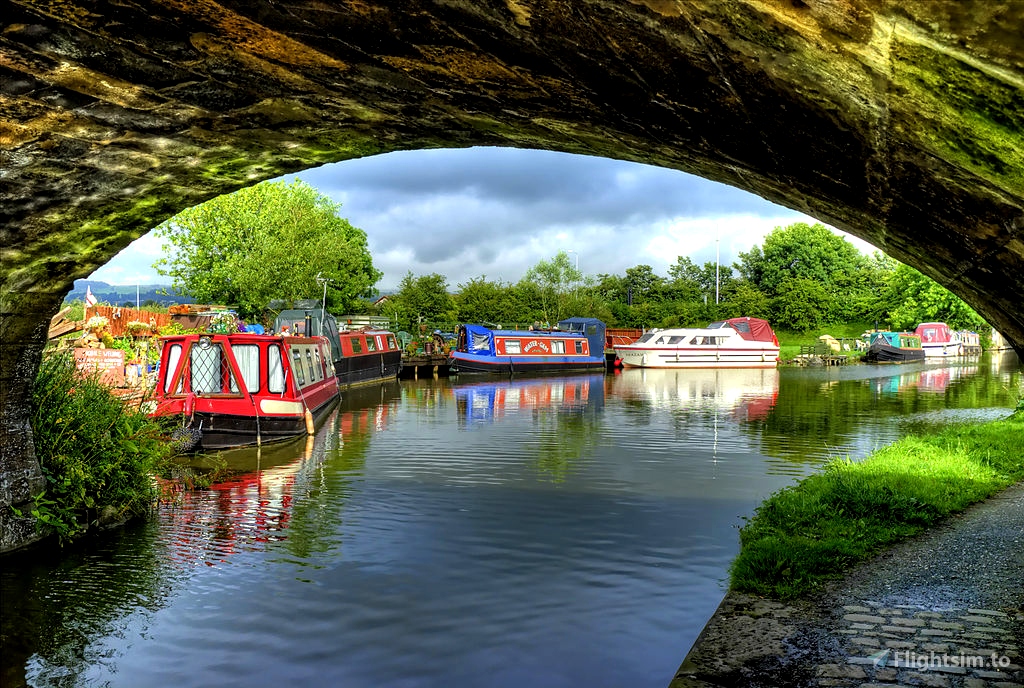
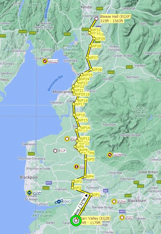
This 47-mile route follows the course of the Lancaster Canal, which was established in the late 18th century, from Preston in Lancashire to Kendal in Cumbria. I've included the flight plan in both .pln and .lnmpln formats.
From our departure airport, the grass-stripped Carr Valley (EGZB), it’s a five-mile journey to the southern end of the canal. At Preston, we turn northwest for a few miles. Turning north, we pass over the M55 motorway, which connects the M6 to Blackpool on the Fylde coast to the west.
Immediately after crossing the motorway, we turn northeast for two miles as we make our way towards the north-south running A6. As we continue north, the M6 slowly swings into view from the east.
At Barnacre, the canal turns west as we continue on towards Garstang, where we cross the River Wyre (for a flight plan that follows this, see here) at the northern end of Garstang golf course. The canal crosses over the river.
Just beyond Garstang marina, we turn northeast towards Cabus.
From here, the rest of the flight is gentle zig-zags north.
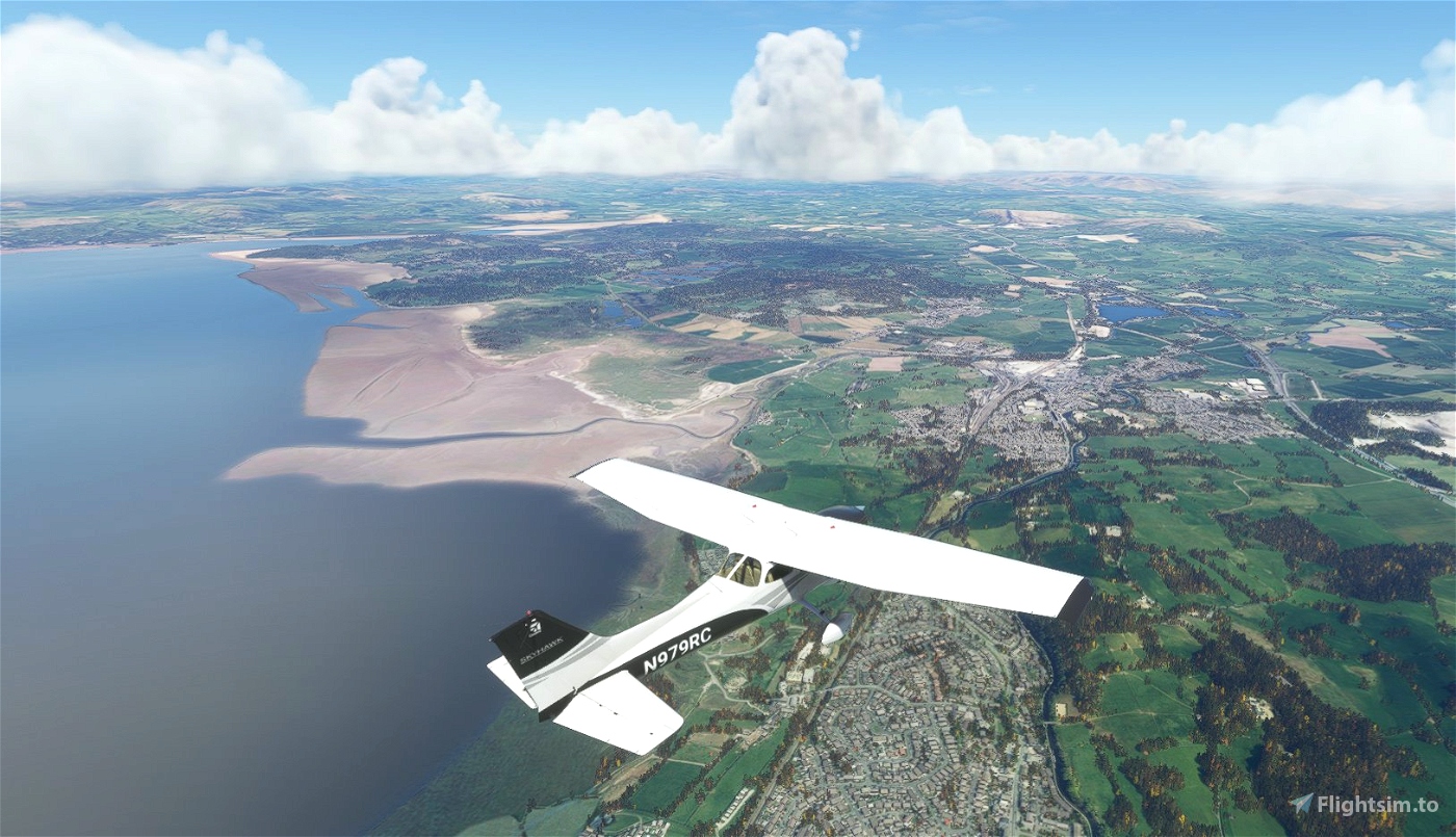
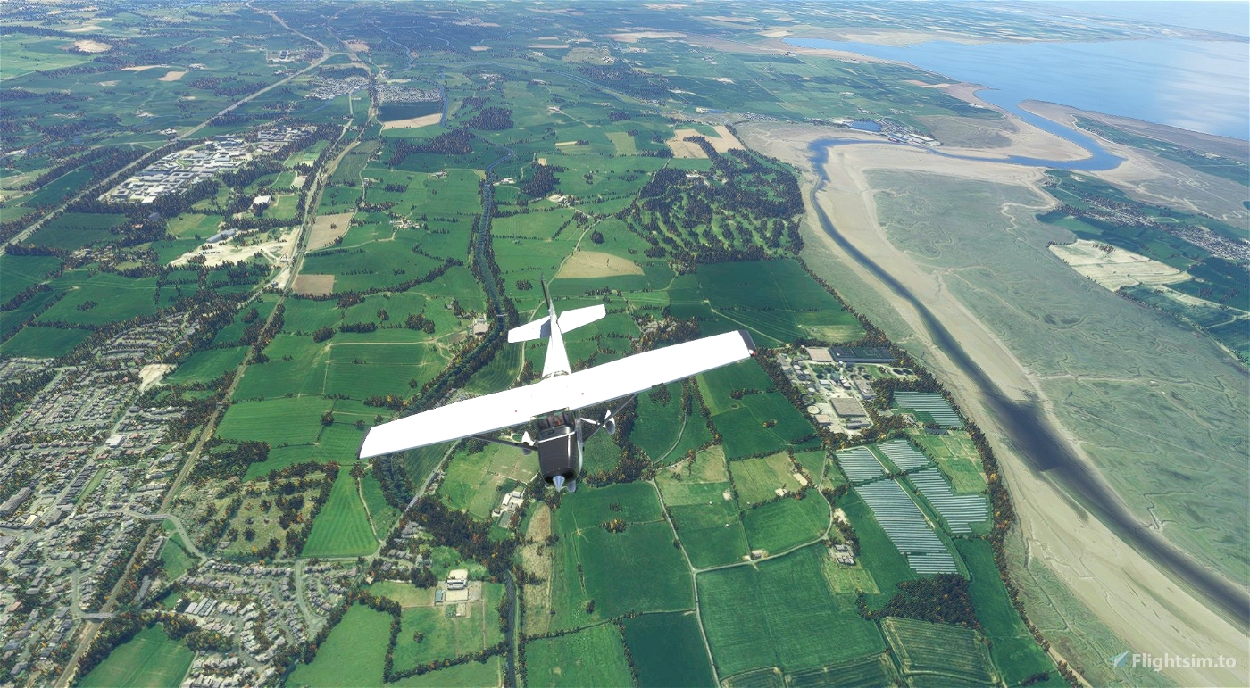
At Lancaster, the canal cross the River Lune via an aqueduct and flows towards the coast briefly before turning northeast until Capernwray.
The final stretch, in Cumbria, takes us to the east of the Lake District, so you may want to climb to a fair altitude to get a few of the fells.
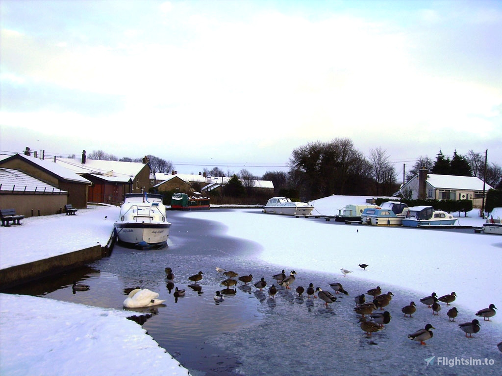
Just southeast of Kendal, we land at the Blease Hall grass strip (EGXF).

 newtestleper


I wish someone would make the UK canals look like canals and not rivers, we need canal bridges and locks too. The waterways are pants.
2 years ago
AndrewPx
Thank you for the flight plan, it was enjoyabe (it's not a place I would have gone without this plan) ... hope someone will fix the water
2 years ago
Great_Qc