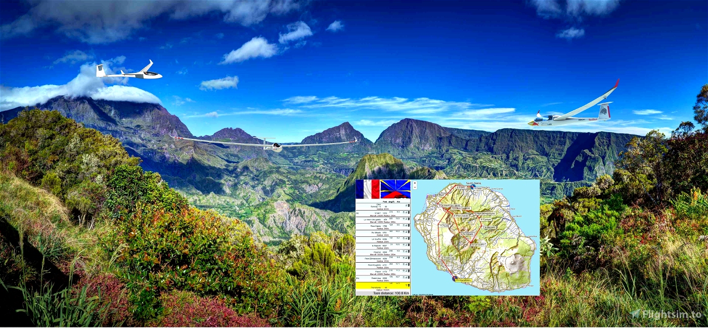


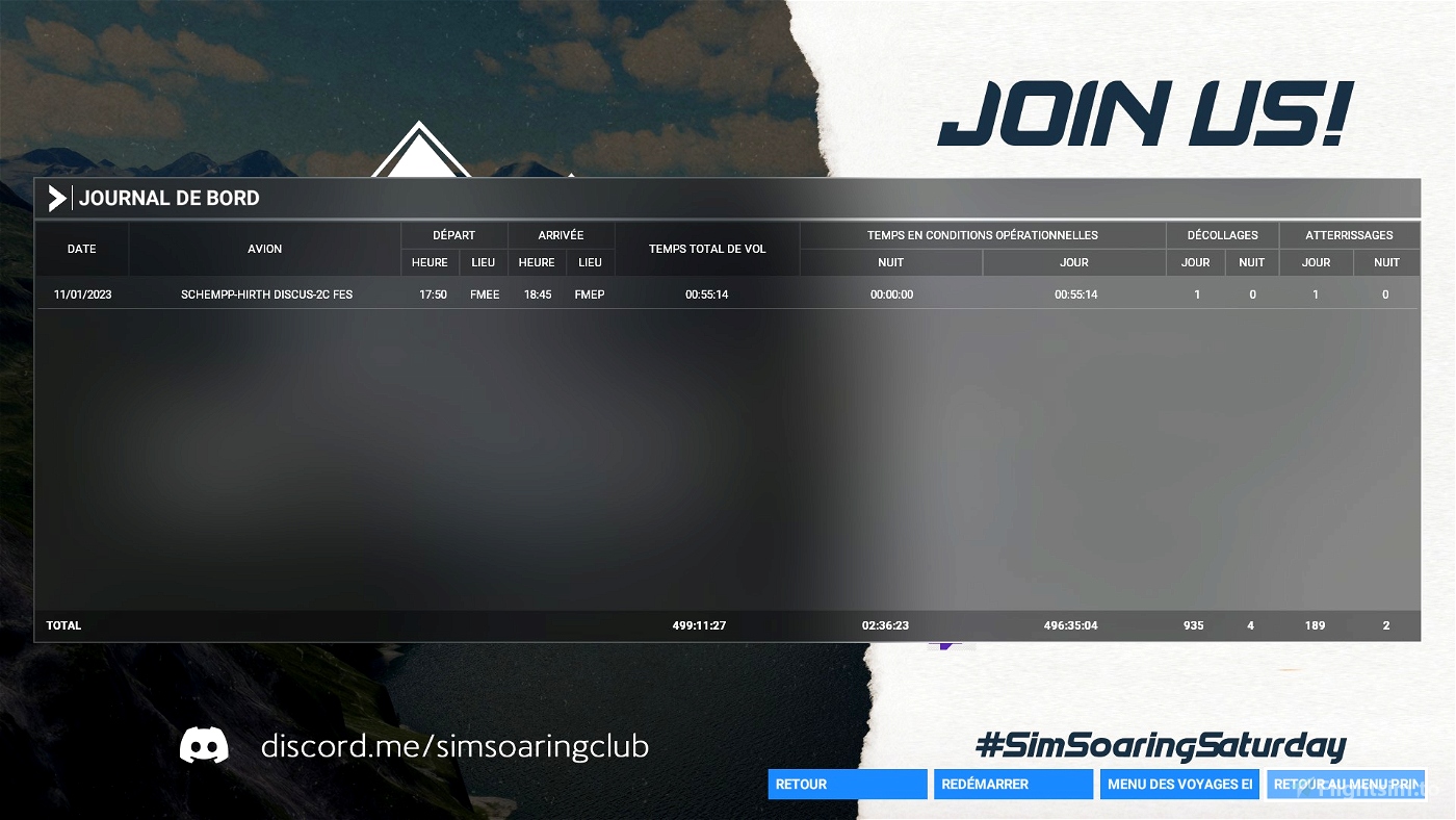
Distance:100km.Length:30mn-1h. .
Difficulty:easy. ..
From:Gillot-FMEE.
To:Pierrefonds-FMEP.
----
Glider ride on Ile de la réunion "French Islande" .
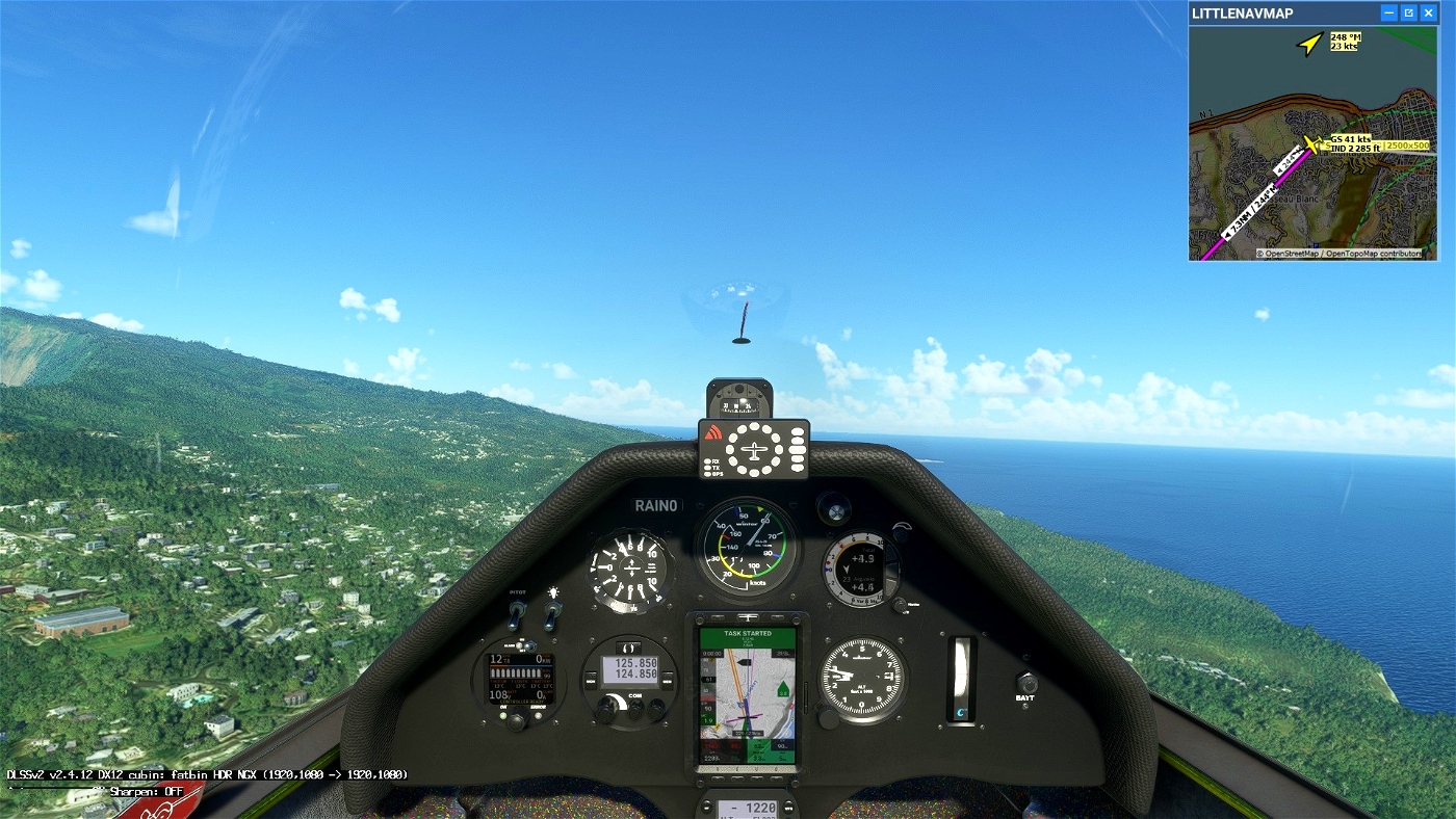
Few clouds, good visibility. Wind 18 knots from S.
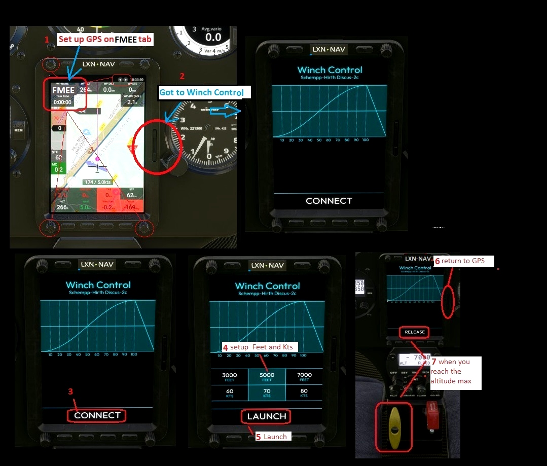
Use and look to GPS to validate all crossing points (notification when done).
Watch your GPS and wait for the map to finish loading.
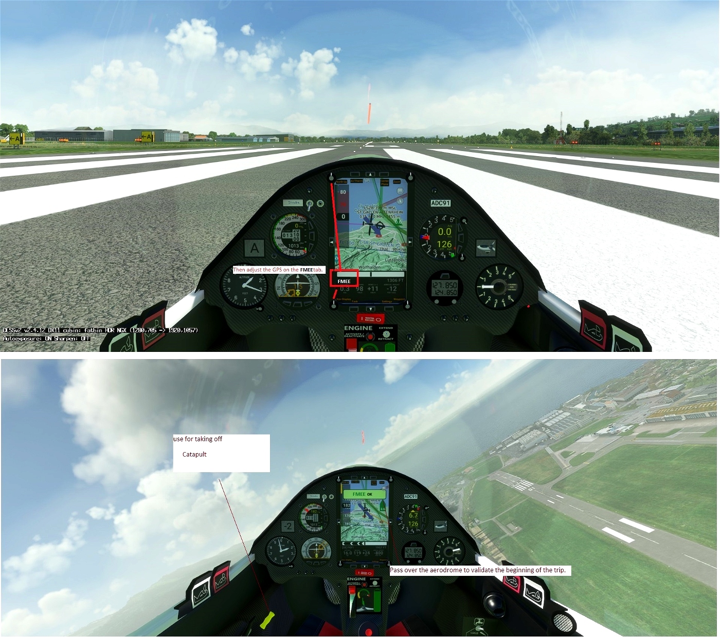
Then adjust the GPS on the FMEE tab .
Use your catapult or your engine to take off.
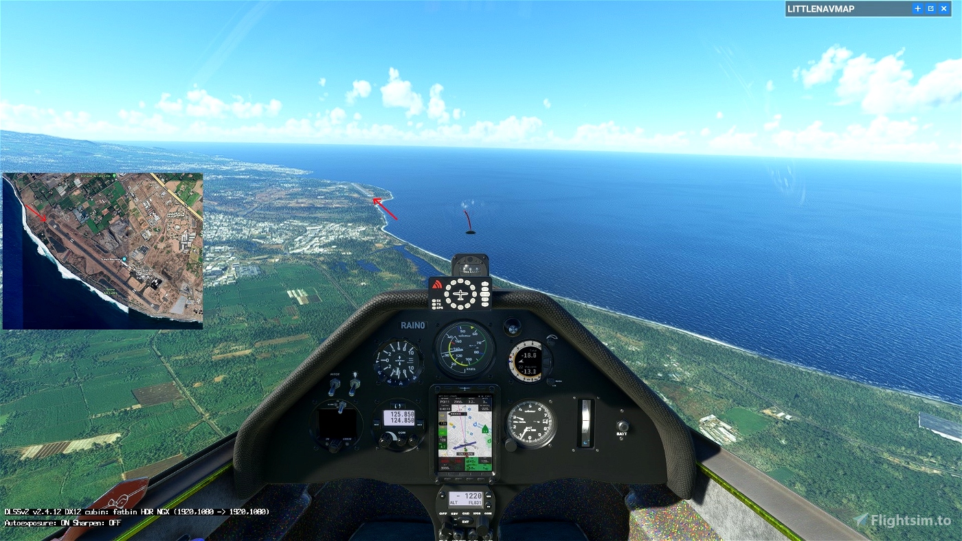
Pass over the aerodrome to valid FMEE
Make sure that you have validated the crossing point above the aerodrome.
Use and look to GPS to validate all crossing points (notification when done).
2500 feet maximum height to pass the POI1 start line.
Turn off your main battery after landing .
---------------
FMEE Gillot 40 feet
OK go to POI1: Starting line. Elevation 2500 feet maxi
OK go to POI2: La riviere des galets Elevation 1200 feet
OK go to POI3:Piton Cabris Elevation 1788 feet
OK go to POI4: Pic Mikado. Elevation 5761 feet
OK go to POI5:Le Gouffre Elevation 6100 feet
OK go to POI6:le Mazerin Elevation 6657 feet
OK go to POI7: l'Eperon. Elevation 4068 feet
OK go to POI8: Piton Bémassoune. Elevation 4688 feet
OK go to POI9: Piton Fougères. Elevation 4731 feet
OK go to POI10: Pause Elevation 2000 feet
OK go to POI11: finish line. Elevation 2530feet
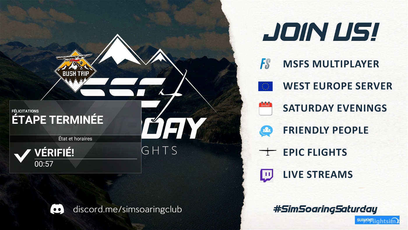
go Landing on Pierrefonds Airport - FMEP 49 feet
Turn off your main battery when you have landed
mode
JackBilbo
https://fr.flightsim.to/discover/LXN%20Nav%20Replacement
MADoloSimulations
ASS33 me 1.83
https://fr.flightsim.to/file/15090/as-33-me
Got Friends
Discus-2c: Premium
https://fr.flightsim.to/product/discus-2c-premium
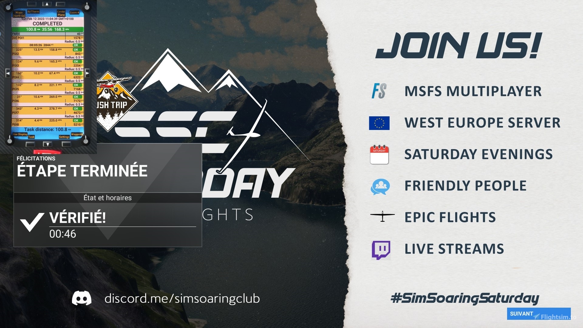
https://discord.com/invite/8TaW8QjH

 ADCKillerman