
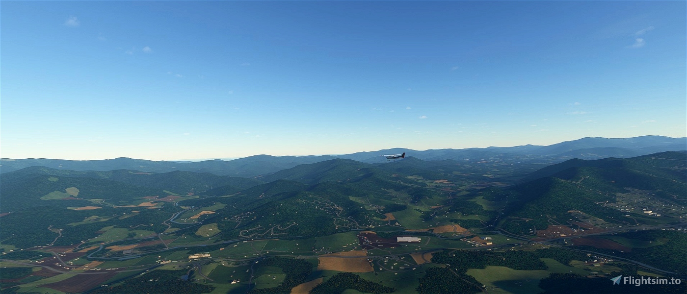
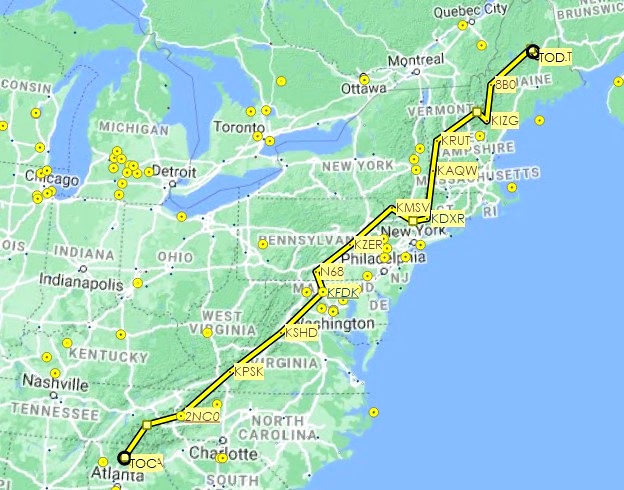

Flying northeast, from Elliott Field (30GA / 09GE in SkyVector) in Georgia to Millinocket Municipal (KMLT) in Maine, above the 2,200 mile / 3,500 km-long Appalachian Trail (map, Wikipedia article). Due to airport locations and the winding nature of the trail, this route by air is considerably shorter at 1,302 miles / 2,095 km (1,131 nm). The route stops in or flies over 14 states: Georgia, North Carolina, Tennessee, Virginia, West Virginia, Maryland, Pennsylvania, New Jersey, New York, Connecticut, Massachusetts, Vermont, New Hampshire and Maine.
The leg safe altitude is 7,500 feet for the southern and northern sections, lowering to 4,000 feet from Virginia to southern Vermont.
I’ve included the flight plan in both MSFS (.pln) and Little Navmap (.lnmpln) formats.
There are 13 legs (for an average of 87 nm per leg), with five waypoints included to take in the following POIs:
· Springer Mountain, the southern terminus of the AT, ten miles due north of the origin airport
· Clingman’s Dome, the highest peak on the trail at 6,643 ft / 2,025 m
· Bear Mountain State Park, the lowest point of the trail at 124 ft / 38 m
· Mount Washington, the highest peak in the northeastern United States at 6,288 ft / 1,816 m
· Mount Katahdin (5,269 ft / 1,606 m), the northern terminus of the trail, 18 miles northwest of the destination airport
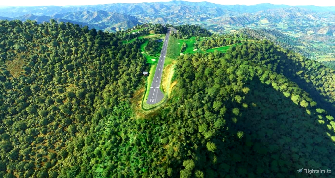
I have third-party scenery for the following stops on the journey:
· 2NC0 (Mountain Air)
· KFDK (Frederick Municipal)
The legs:
· 30GA (09GE in SkyVector) to 2NC0 (135 nm)
· 2NC0 to KPSK (111 nm)
· KPSK to KSHD (108 nm)
· KSHD to KFDK (99 nm)
· KFDK to N68 (36 nm)
· N68 to KZER (73 nm; halfway point)
· KZER to KMSV (93 nm)
· KMSV to KDXR (76 nm)
· KDXR to KAOW (81 nm)
· KAOW to KRUT (51 nm)
· KRUT to KIZG (107 nm)
· KIZG to 8B0 (61 nm)
· 8B0 to KMLT (110 nm)
Enjoy!
 newtestleper


3 years ago
Ramblin