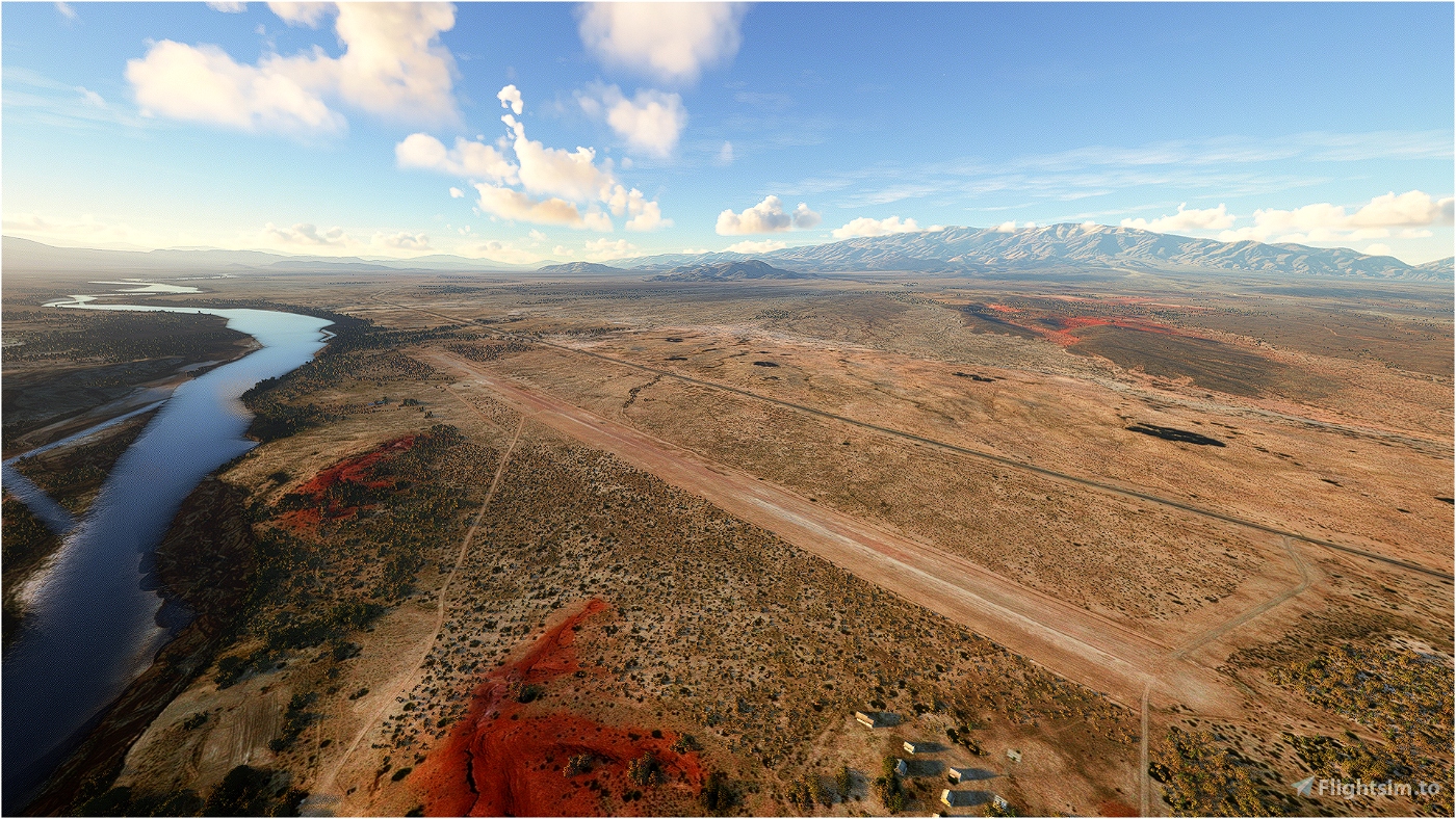
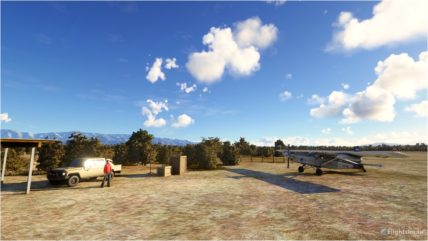
ICAO: SAQR - PÚBLICO NO CONTROLADO
RWY: 17/35 2300x30 M - Tierra
ELEV: 1188 M 3900 FT
El aeródromo de Villa Unión está ubicado a 8 km al norte de su ciudad llamada con el mismo nombre, en un fértil valle (designado Valle del Bermejo) atravesado por el río Desaguadero (llamado río "Bermejo" o "Vinchina" por los lugareños).
Se encuentra en el valle formado por la Sierra de Famatina (al este) y la precordillera riojana (al oeste), en un bolsón de clima árido, con veranos muy calurosos e inviernos benignos, muy escasas lluvias y probabilidad de heladas; a 275 km al oeste de la capital provincial, por la RN 76.
Villa Unión aerodrome is located 8 km north of the town of the same name, in a fertile valley (designated Valle del Bermejo) crossed by the Desaguadero river (called "Bermejo" or "Vinchina" river by the locals).
It is located in the valley formed by the Sierra de Famatina (to the east) and the pre-mountain range of La Rioja (to the west), in a pocket of arid climate, with very hot summers and mild winters, very little rainfall and the probability of frost; 275 km west of the provincial capital, along RN 76.
INSTALACION:
Descomprimir el archivo .rar y pegar la carpeta en la carpeta Community del Flight Simulator 2020
INSTALLATION:
Extract files to the your Microsoft Flight Simulator Community Folder

 mache
mache 

