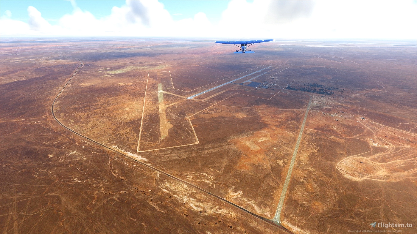

Try this challenge of flying the canyons of the Tassili N'Ajjer National Park in Algeria.
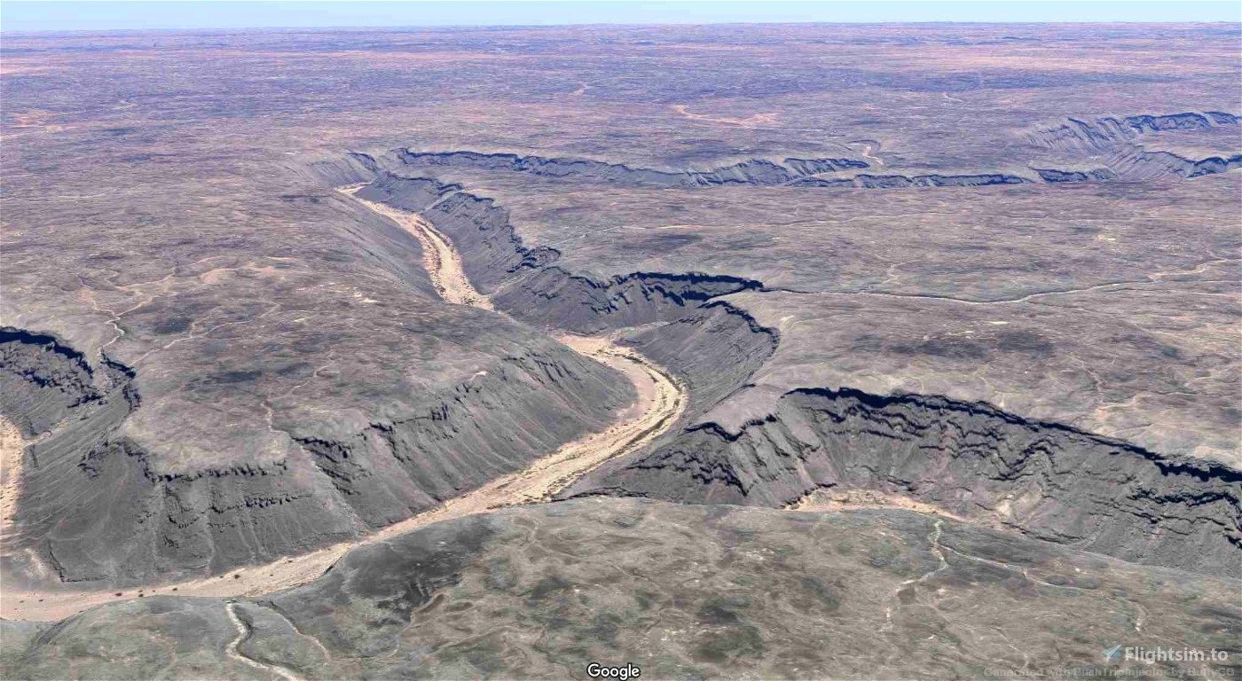
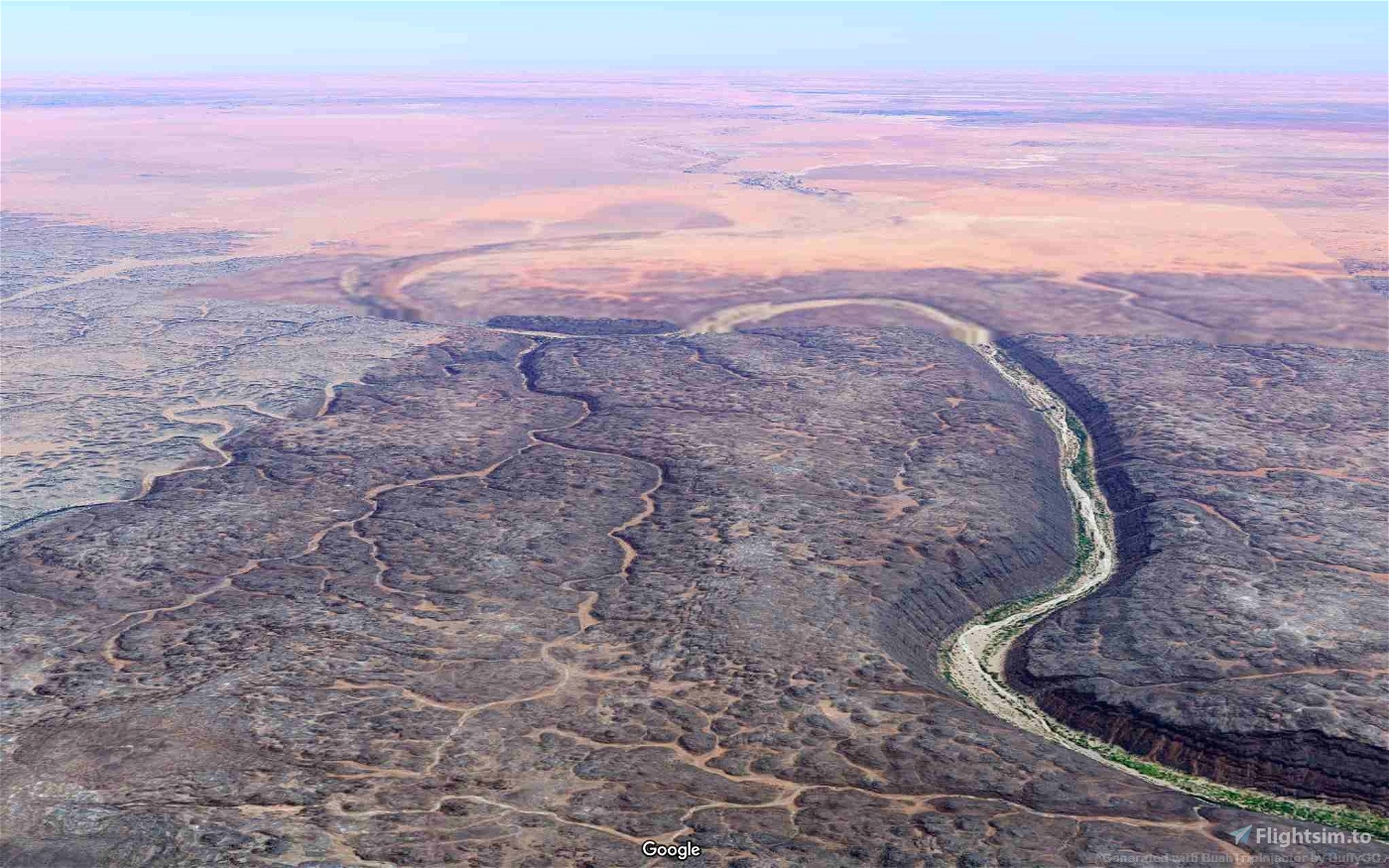
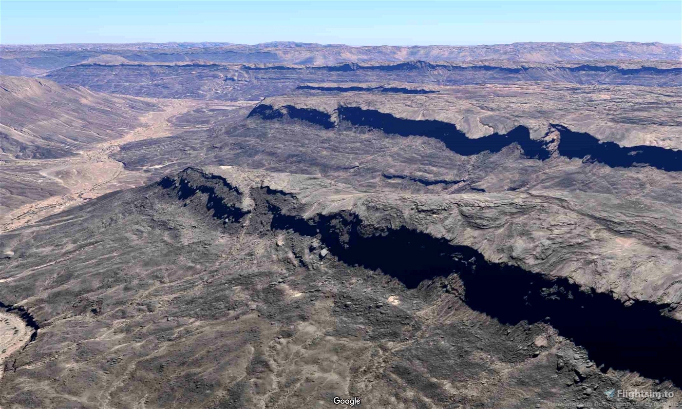
This is a plateau located between Libya and Niger, It has been designated a UNESCO world heritage site. The eroded sandstones create amazing rock features, giving the landscape a lunar appearance. The rocks and caves are decorated with more than 15,000 drawings and engravings providing evidence of human life and the impact of climate changes in this part of the Sahara. This beautiful and stunning area is remote and access is challenging. A trekking guide is advised. The TBM Daher is used on this trip but if you can use BuffyGC's MissionChanger try it out with the F/A18. The sample pictures of this area have been obtained from Google Maps. I suggest checking out Google for more amazing images.
The trip has 5 legs and is 352nm long
Autopilot in Nav Mode may be useful on longer sections. Pop out the MFD as a separate window to show the Map (Right Alt and LM click).
Make sure you have your map handy (LittleNavMap is my preferred guide).
Installation:
Unpack the included folder from the package into the community folder. Restart the simulator.
Add-ons:
There may be add-ons available. I found the GARMIN G1000 NXI works with some aircraft but not others as the flight plan was not always available. I did not use any others during this trip.
BuffyGC's MissionChanger - https://flightsim.to/file/28469/missionchanger
You may wish to use MSFS 2020 Google Map replacement by derekhe as it may enhance the scenery. - https://flightsim.to/file/19345/msfs-2020-google-map-replacement
Notes:
I have enabled Weather and ATC but this could become a distraction.
After you have completed each leg, I suggest taking copies of the save file:
\Users\*\AppData\Local\Packages\Microsoft.FlightSimulator_8wekyb3d8bbwe\LocalState\MISSIONS\ACTIVITIES
So that it can be restored if you encounter difficulties. You can then restart from that point if necessary.
Credits:
Thanks to BuffyGC for the excellent BushTripInjector
Thanks to LittleNavMap by Alexander Barthel
Wikipedia
Google
Tripadvisor
I give links to other sources - (Visit at your own risk I take no responsibility for external content):
https://www.researchgate.net/figure/A-Pre-Mesozoic-subcrop-map-of-the-Algerian-Saharan-Platform-showing-the-main-Late_fig1_323635735
Written by BMJMOD
v1 2022/07/22

 bmjmod


Terrible . One of the worst I ever done . And the scenery absolutely horrible
1 years ago
sparky147
Hello bmjmod,
You have chosen a very beautiful landscape and I enjoyed flying there very much. However, I think you have set many waypoints too close. The TBM is a bit sluggish for this and can't fly it. I would advise a lighter aircraft. Flying close above the bottom of the canyons is a little more fun for me.
2 years ago
Thanks. I wanted the route to follow the course of the valleys. I now realise the WPs maybe too close but in my mind thought it was a bit of a challenge to try and follow them. Perhaps I may release another version sometime. As for choice of aircraft I was trying to choose between something fast like the F/A 18 and something agile and came up with the TBM. but I was able to change it with Missionchanger. Your comments are much appreciated.
2 years ago
bmjmod
Koschi
Good job ! 2h29 for the bush complete. Just some branches of the FLP are too small. Less than 1 nm it's very difficult to follow the GPS in VFR. I just fly with the ouside view ... me too for littlenavmap, a second window for the following ...
2 years ago
Obeone2264