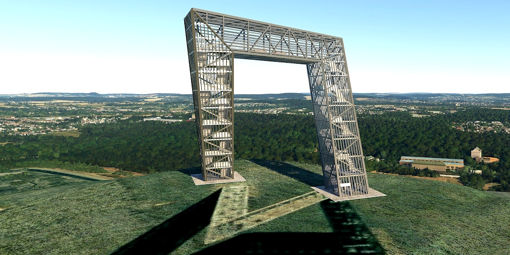
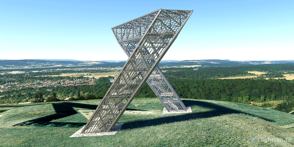
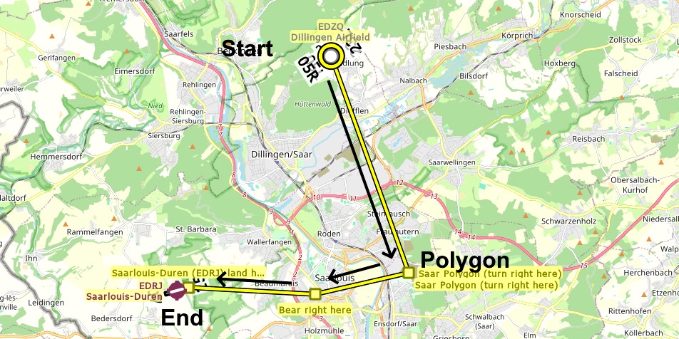
The Saar Polygon is a monument commemorating the coal mining industry in Saarland, which ended after several centuries, in 2012. The polygon stands on the spoil of the Bergwerk Saar coal mine. This pile has an an area of about 50 hectares, rises about 150 meters above the Saar Valley and is visible from all directions. France and Luxembourg are visible from the structure. It is designed to have a different shape depending on the direction it is viewed, such as a rectangular arch, a triangle, an inverted triangle, and an hourglass. It resembles the structures that are used in mines for support.
Runway that departs in the direction of the flight plan: 23R
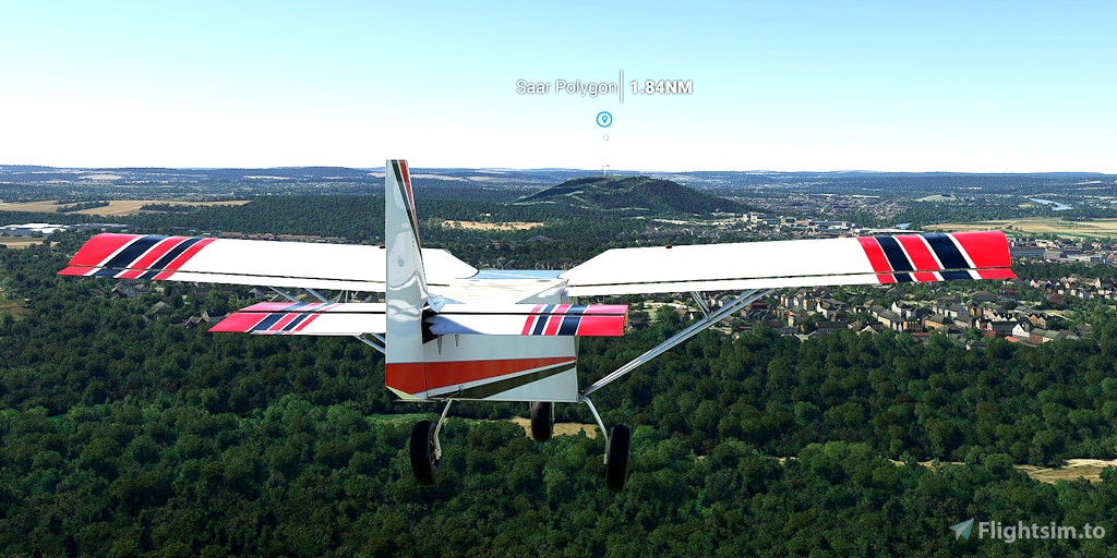
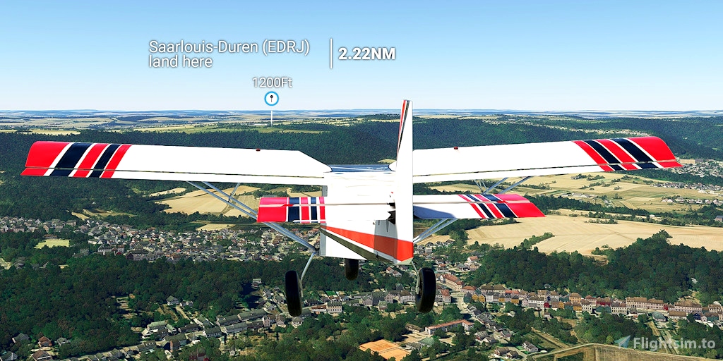
Distance: 9 miles
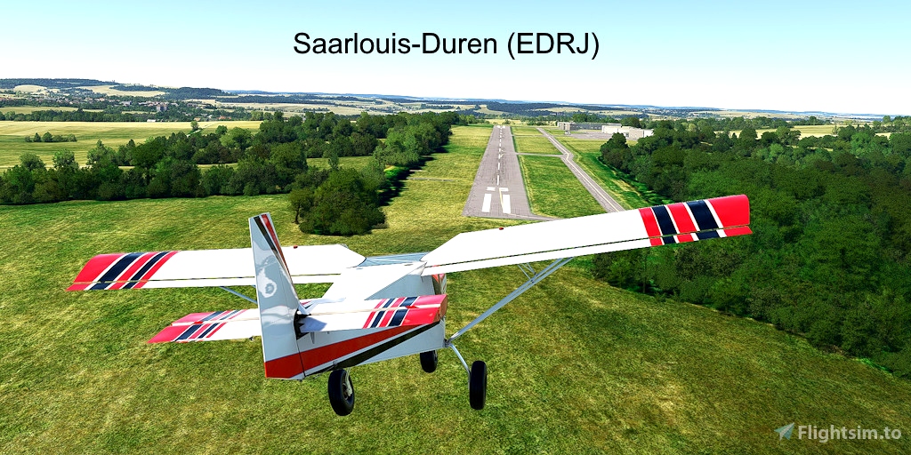
No navigation or GPS instruments are required; simply follow the on-screen markers.
Do not engage the copilot or autopilot. They may alter or suppress waypoints.
MSFS settings for the best experience with this flight plan: Options > Assistance Options >
- Piloting > AI Radio Communications (ATC) > Off (required to properly display the waypoints)
- Navigation Aids > Route and Waypoints > On
- Points of Interest > Landmark Markers > On
- Points of Interest > City Markers = Off (optional - declutters the screen)
- Points of Interest > Display Direction to Chosen POI > Off (disables confusing destination marker during flight)
- Points of Interest > Display All Labels > Off
- User Experience > ATC Enforce Flight Plan > On (prevent current conditions from overriding selected runway number)
How to Use This Flight Plan
- Unzip the downloaded file into any folder.
- The flight plan is the file that has the “ .pln ” filename extension.
- MSFS > Welcome tab > World Map > Press Spacebar twice (More > Load) > Load From ...
- avigate to where you saved the flight plan and select it.
- In the "From" airport, select the departure runway (provided in this description, above).
- Click on the Flight Conditions window at the top right to adjust time and month.
- Click on "Fly" at the bottom right of the screen.

 FederFlyer

