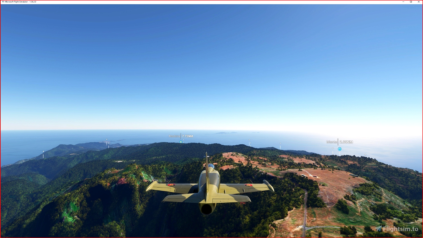
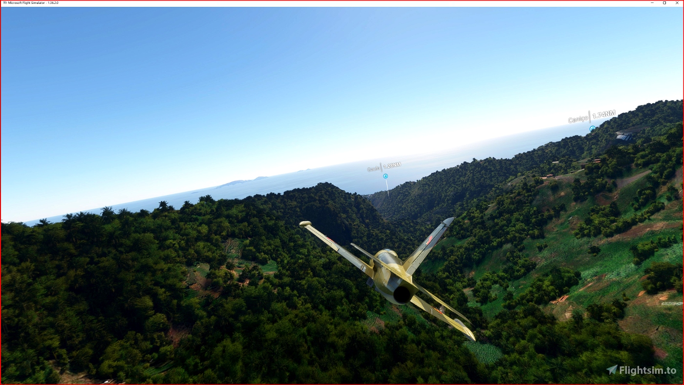
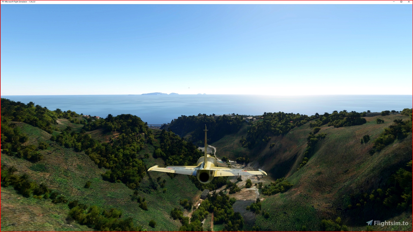
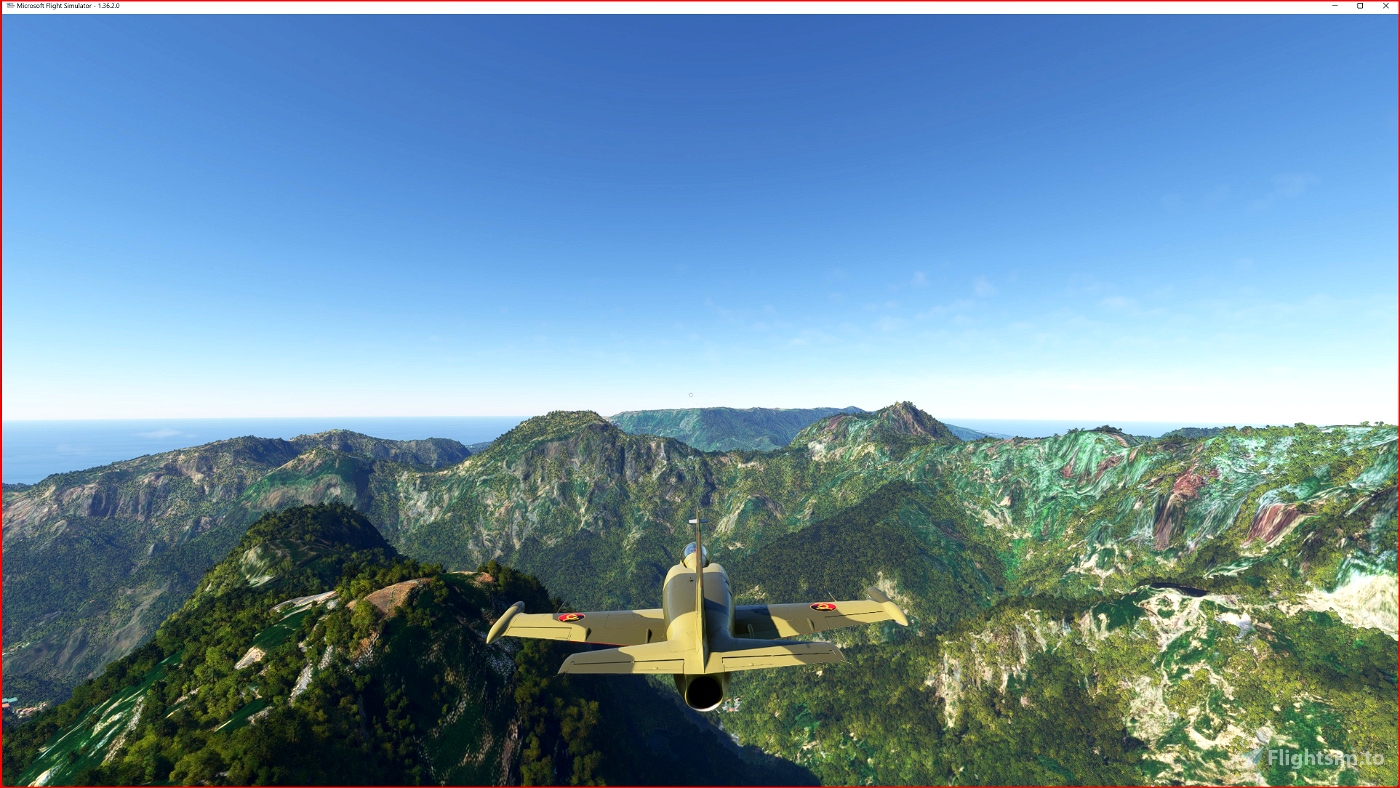

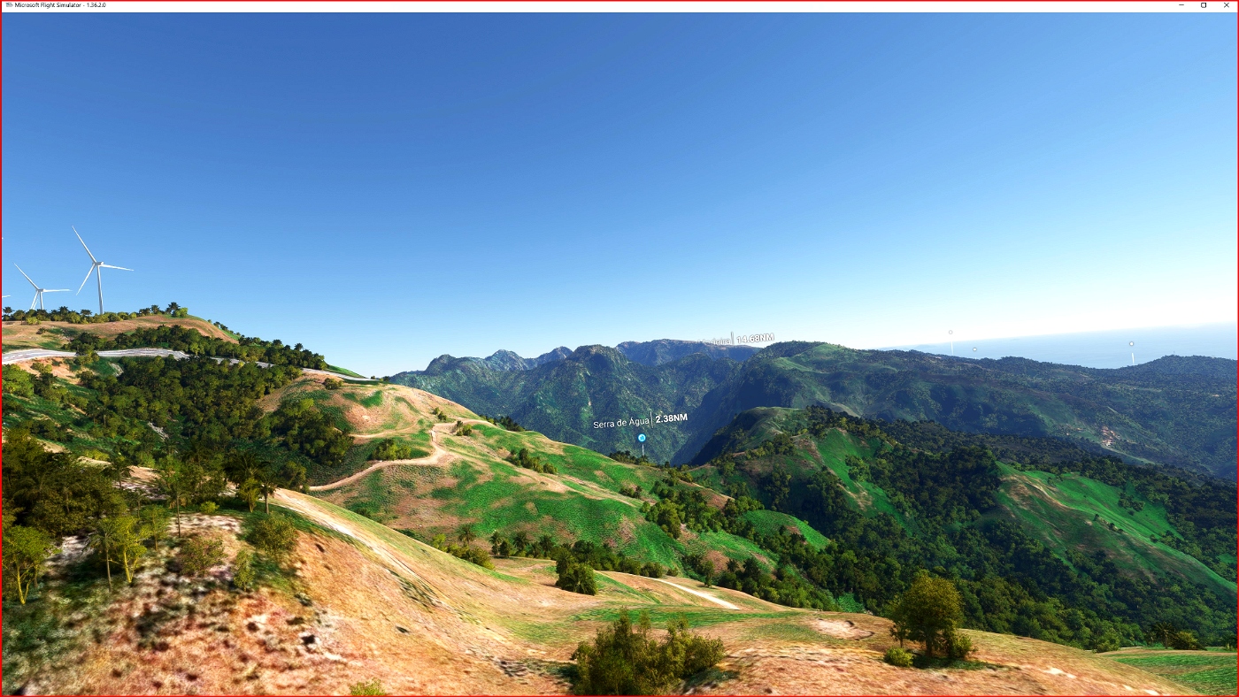
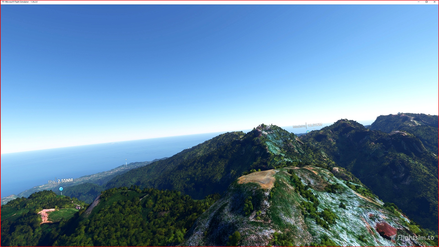


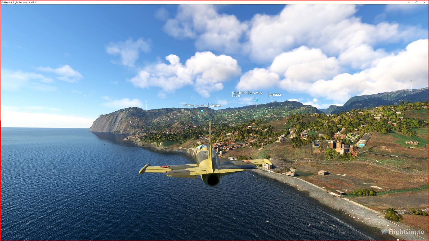
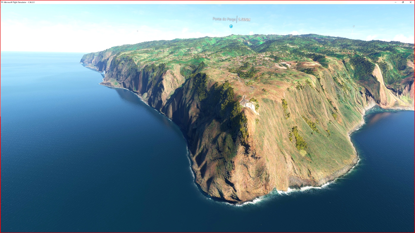
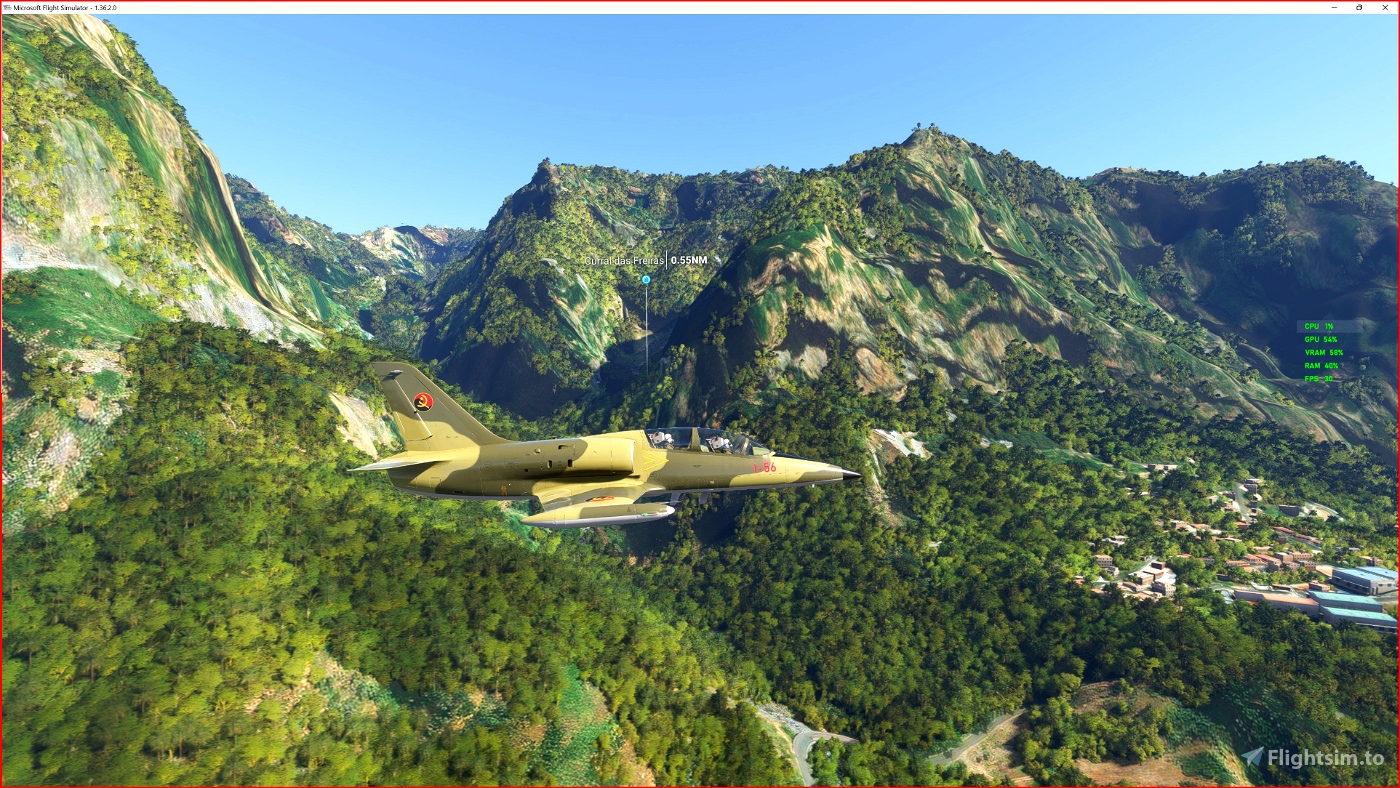
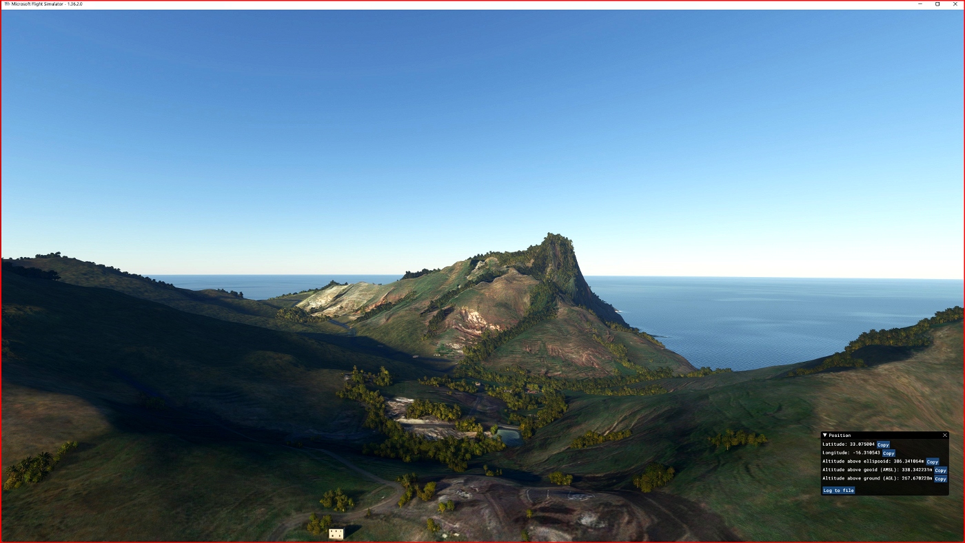
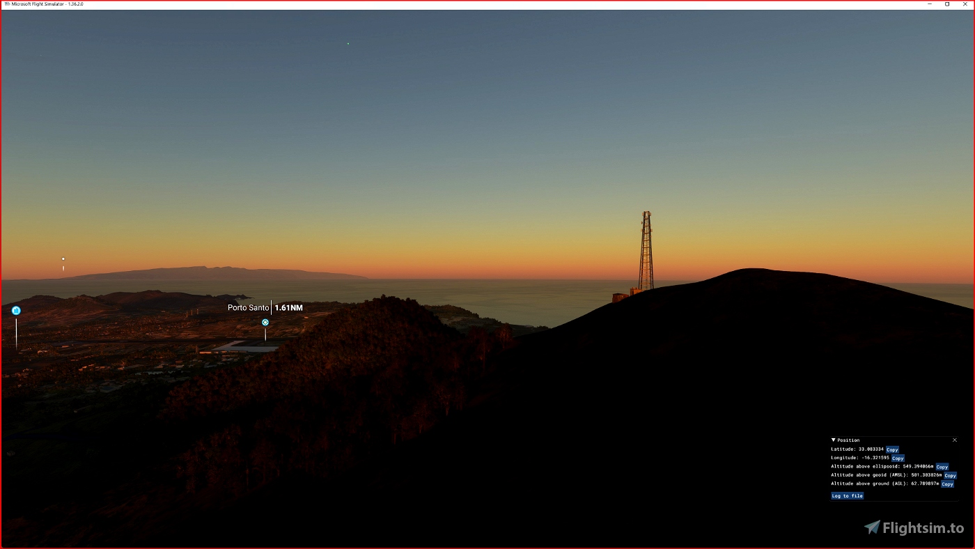
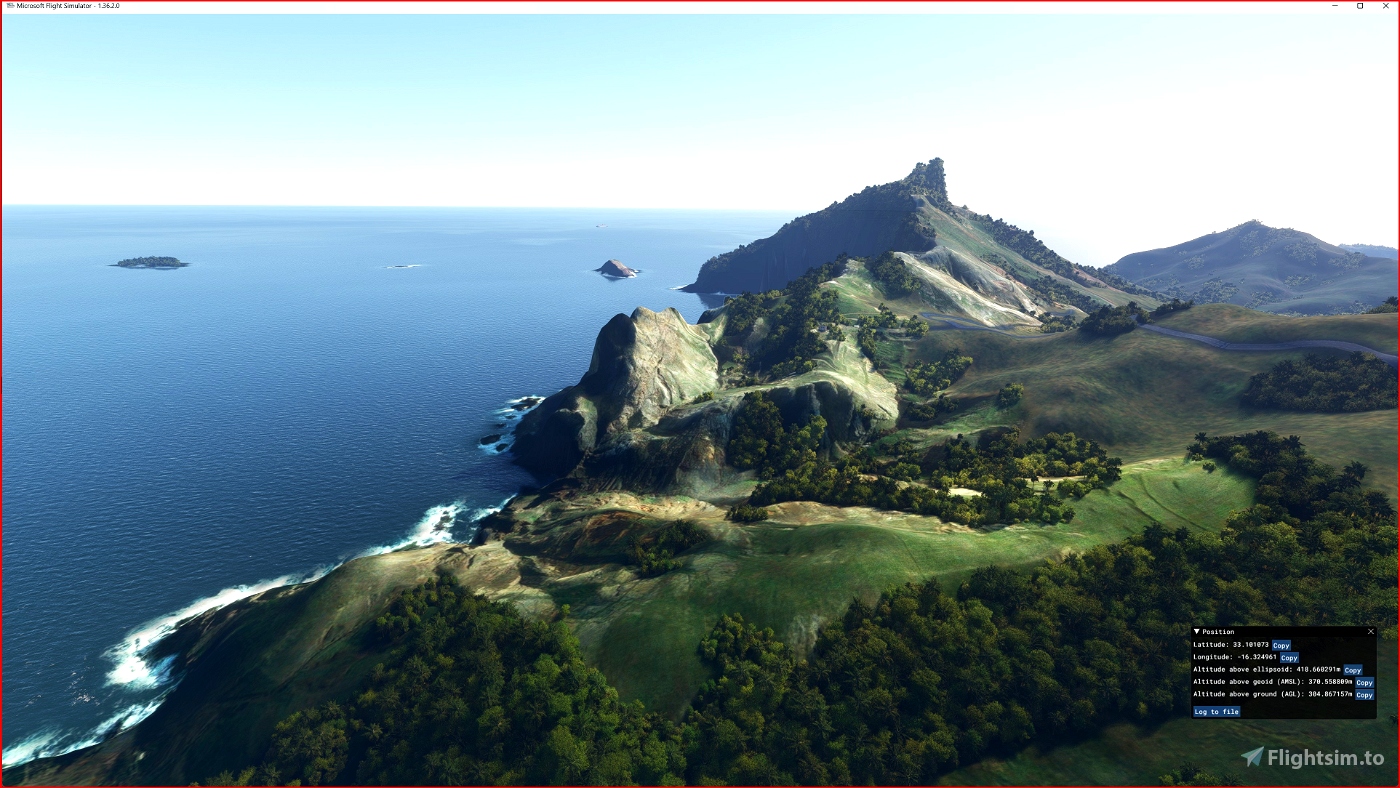
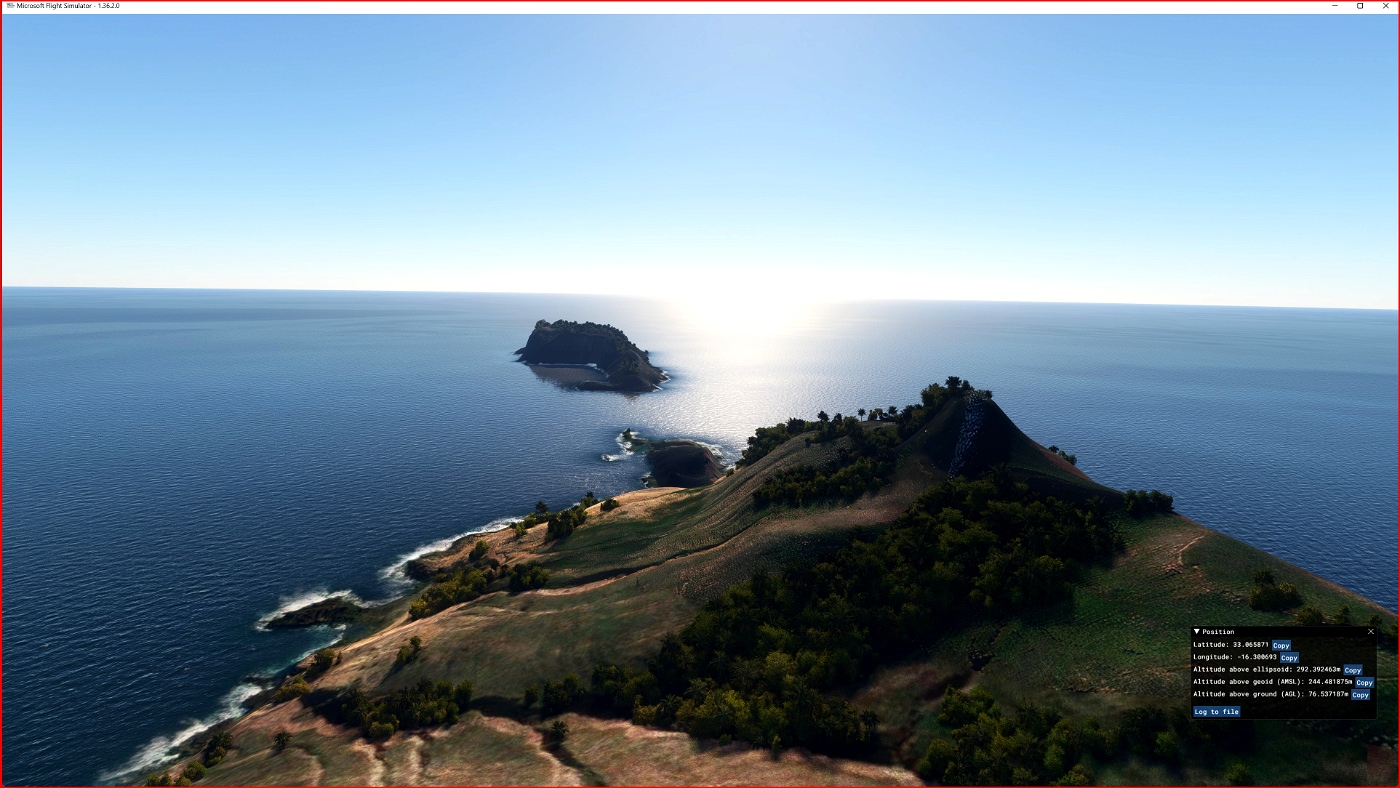

DEM / ETM10 - Enhanced Terrain Mesh 10m for Madeira and Porto Santo Islands
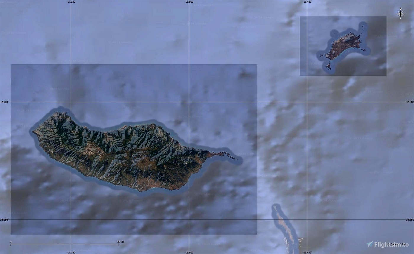
This is an Enhanced Terrain Mesh derived from Sentinel-1A mission of the European Radar Observatory for the Copernicus joint initiative of the European Commission (EC) and the European Space Agency (ESA), 10 meters. Mainly the area covered by this terrain mesh is related to the region of ... see coverage map.
Affected Sceneries
Any large Payware and Freeware Airport I could think of, has been excluded from the mesh. So hopefully the glitches will be minimal.
Please report any bugs with sceneries or airports and I will see what I can do!
Created using MSFS Toolkit by Nool Aerosystems (MSFS Toolkit).
On Discord: ItalianCharter Team // Gjanosh61#9850
Please don’t feel as though you have to, but if you wanted to buy us and the team a coffee to support the work. Thank you very much.
Buy Gjanosh61 a coffee

 Gjanosh61


I would like an update, thanks!
Best regards Esa Sairio, Finland
2 days ago
1 days ago
Gjanosh61
Esa
1 months ago
1 months ago
Gjanosh61
SunriserPT
2 months ago
2 months ago
Gjanosh61
cteixeira
3 months ago
3 months ago
Gjanosh61
TheAfricanFlyer