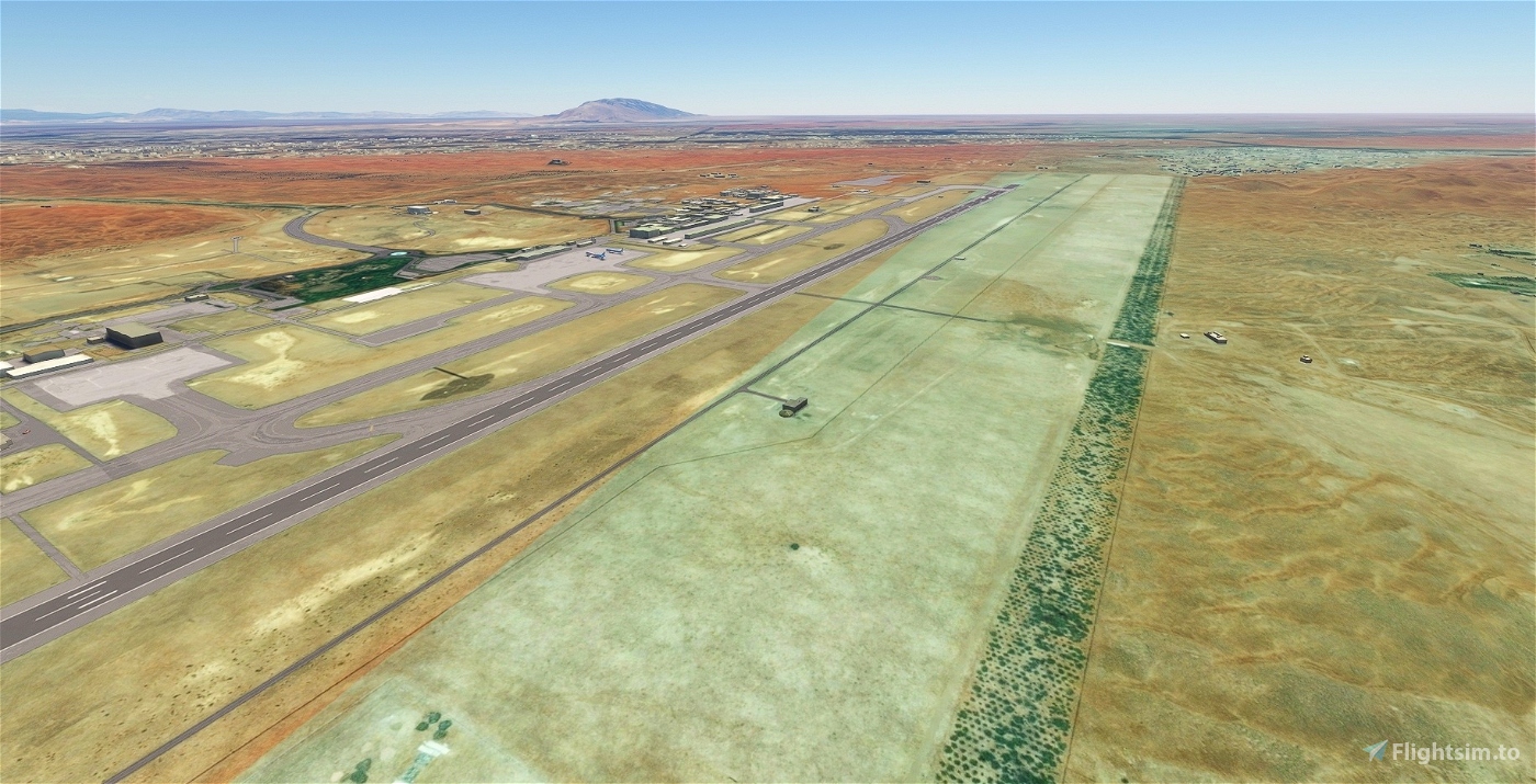
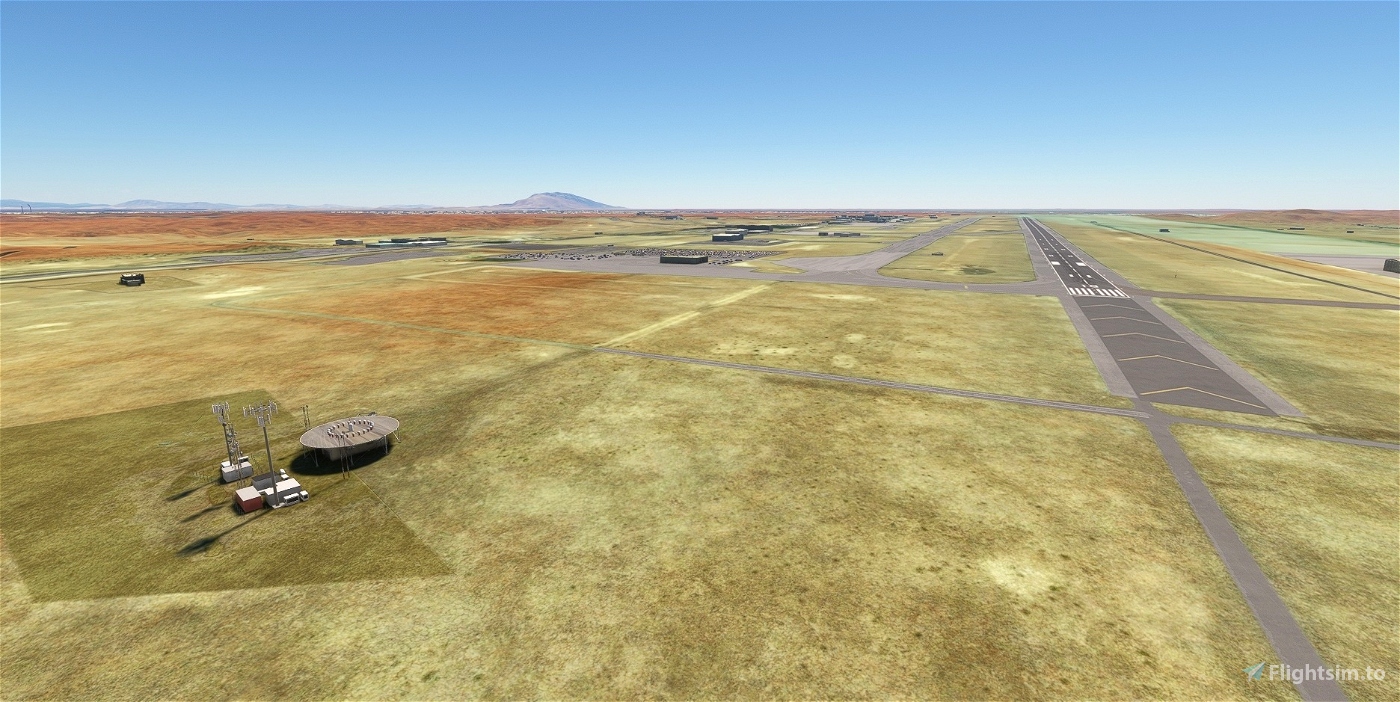
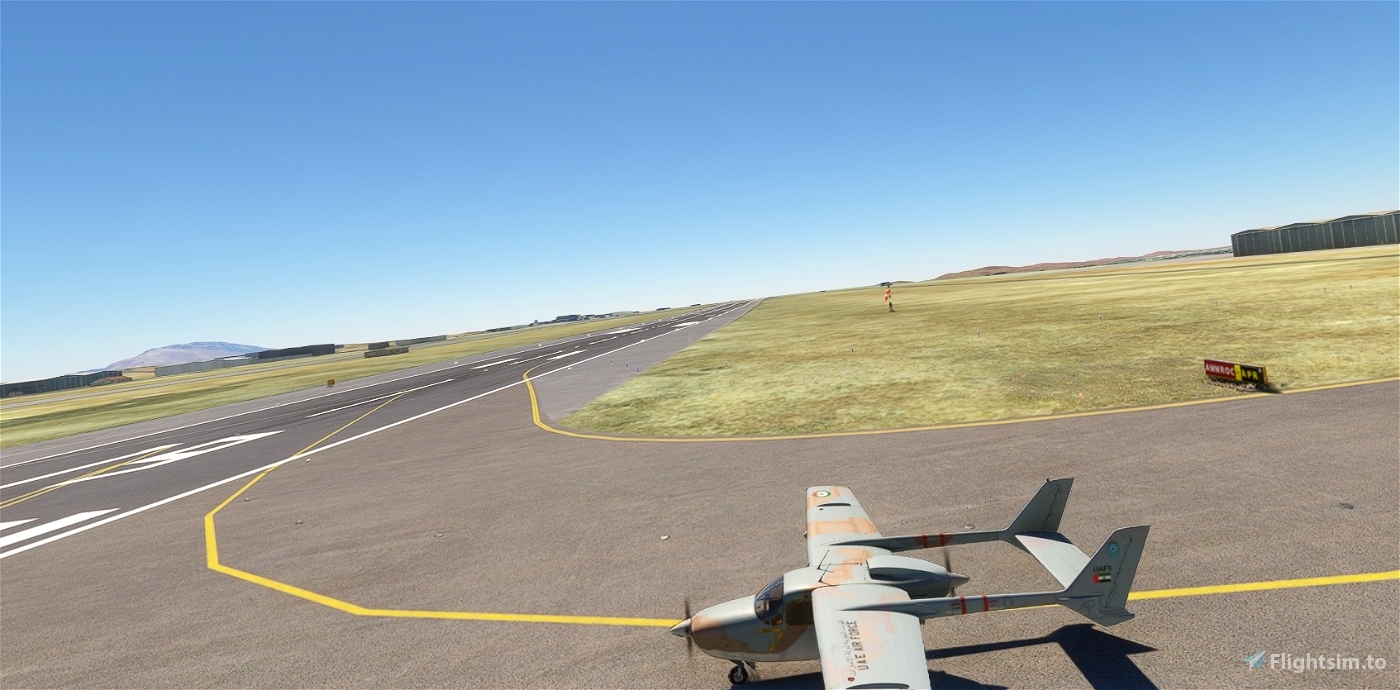

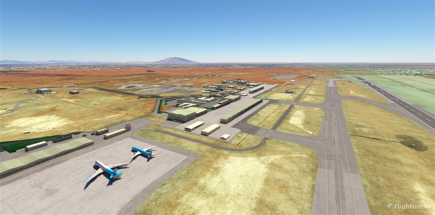
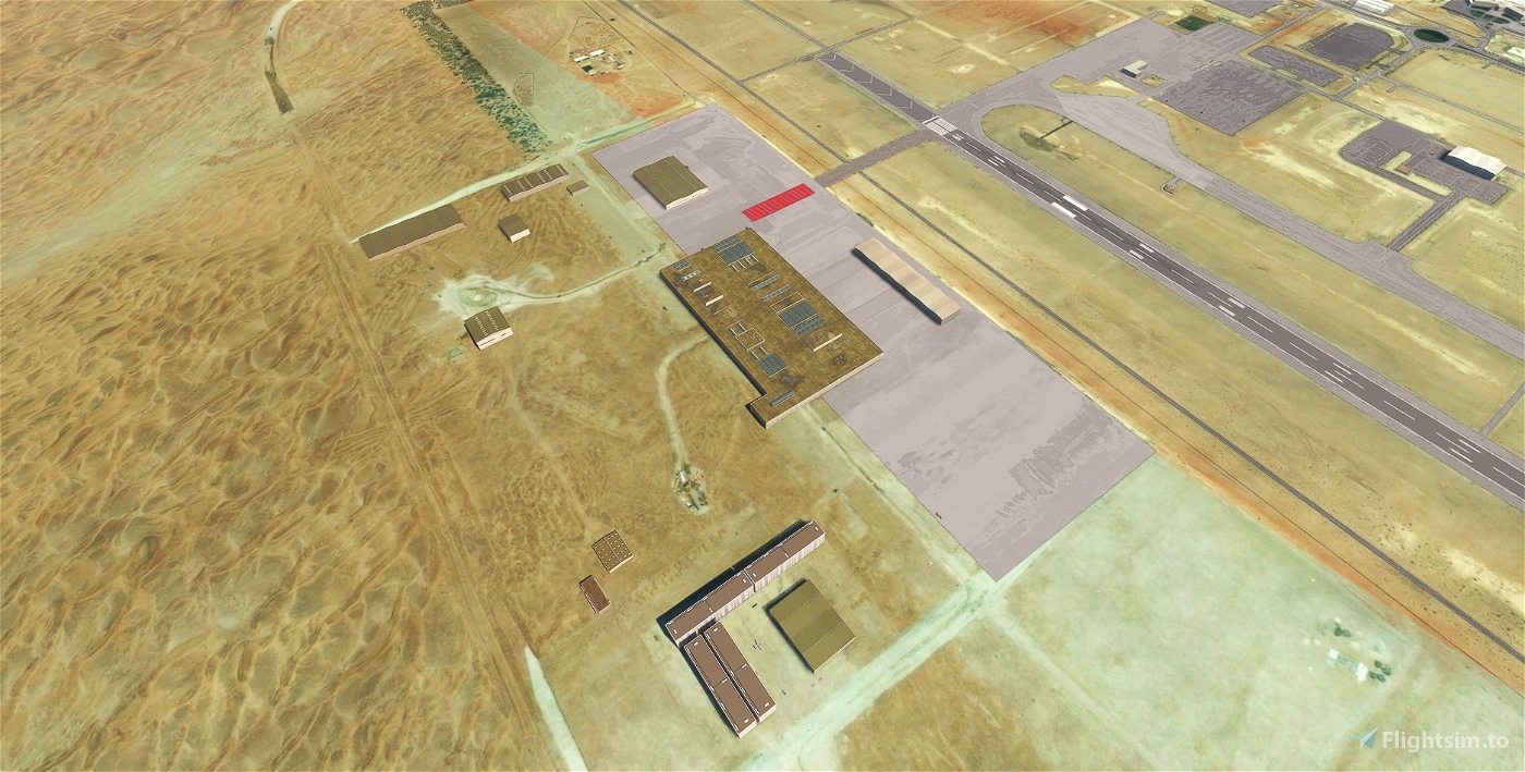
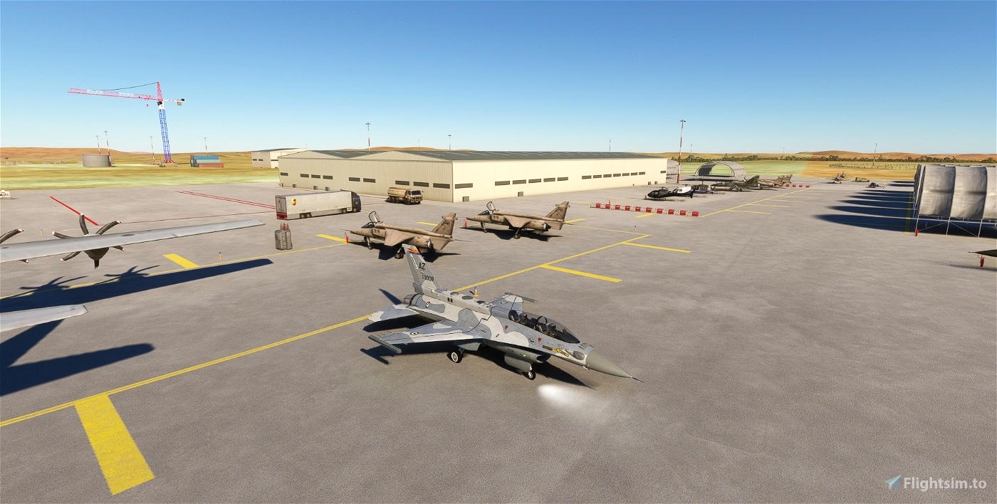
Al Ain International Airport and Air Base.
totof-helicopter-libraryV2
totof-aircraft-library V4
library1v14-cbj, ethnicfs-misc-objects-library
library2v14-cbj, ethnicfs-building-library
UK2000, ethnicfs-military-library, Animated Humans 1.3
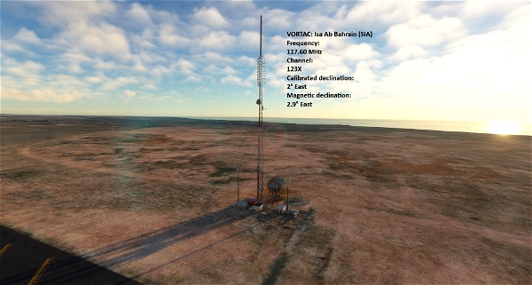
VORDME: Al Ain (ALA)
Frequency:
115.90 MHz
Elevation:
865 ft
Magnetic declination:
2° East
Transition altitude:
13,000 ft
Transition level:
15,000 ft (FL150)
Coordinates:
24° 15' 42.00" N 55° 36' 32.98" E
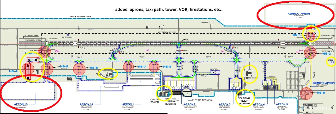
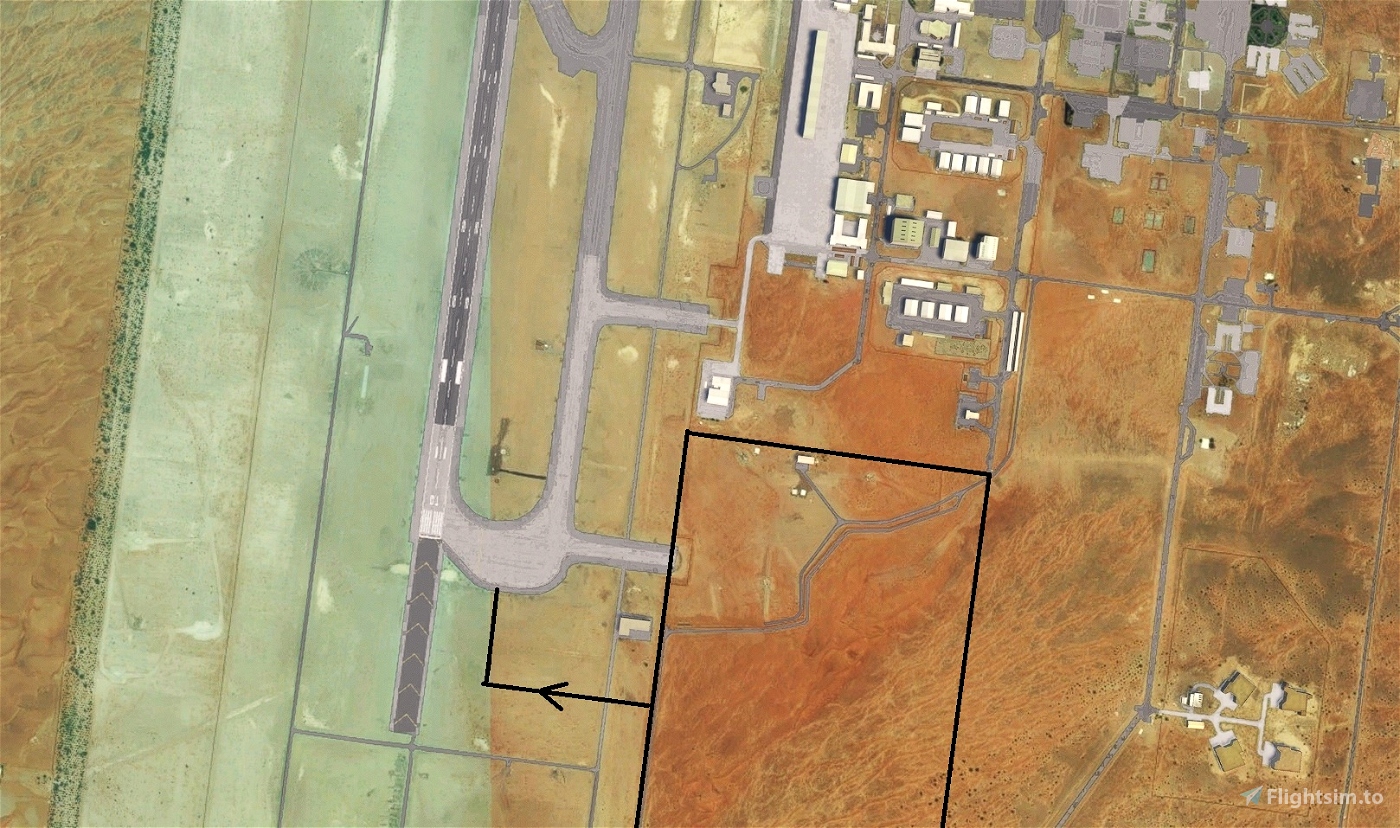
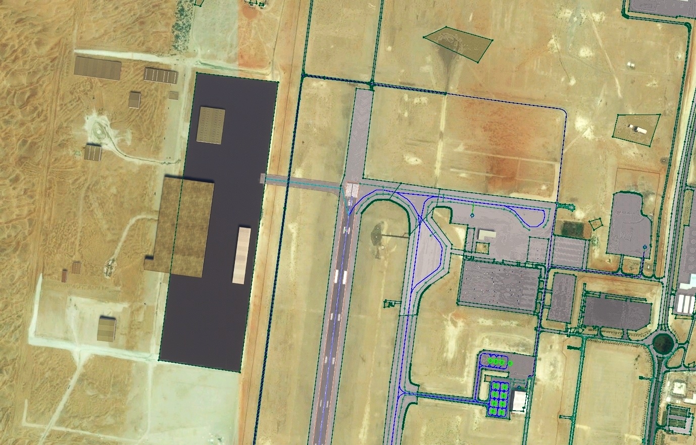
MSFS2020 missing buildings, aprons, tower, VOR, firestations etc...
Added. Seen on the latest charts from the AIP.Publication date: 25 JAN 2024.

 iCeManxTT